AKA: none
Other ID: M-1-05-NC
Status: Completed
Organization(s): Monterey Bay Aquarium Research Institute (MBARI), Gulf of the Farallones National Marine Sanctuary, Point Reyes Bird Observatory, Moss Landing Marine Laboratories, USGS, Pacific Coastal and Marine Science Center, Monterey Bay National Marine Sanctuary
Funding Program(s): National Seafloor Mapping and Benthic Habitat Studies (MU195)
Principal Investigator(s): Roberto Anima, John Chin
Affiliate Investigator(s):
Information Specialist(s):
Data Type(s): Imagery: Video, Location-Elevation: Navigation, Sonar: Sidescan
Scientific Purpose/Goals: To continue mapping of the outer and mid continental shelf of north-central California, and to ground truth side-scanning sonar images with underwater video.
Vehicle(s):
Start Port/Location: Redwood City, CA.
End Port/Location: Redwood City, CA.
Start Date: 2005-04-22
End Date: 2005-05-05
Equipment Used: underwater video, GPS, sidescansonar
Information to be Derived: Extent and morphology of offshore rock outcrops within the Gulf of the Farallones and Monterey Bay National Marine Sanctuaries. Bio diversity survey across the areas covered.
Summary of Activity and Data Gathered: Collected approximately 117 line kilometers of side-scanning sonar data and 50 km of underwater video footage of the areas surveyed.
Staff: Roberto Anima, Nicole Capps, John Chin, Bridget Dobrowsky, Jessica Futch, Greg Gabel, Gerry Hatcher
Affiliate Staff:
Jan Roletto
Jean de Marignac
Paul Chetirkin
Chris Grech
Jamie Hall
Jaime Jahncke
Carol Keiper
Robert Lea
Shannon Lyday
Lee Murai
Eleyne Phillips
Luis Rodriguez
Ben Saenz
Robert Schwemmer
Sarah Smith
Lisa Uttal
Sophie Webb
Duncan Wright
Notes: Associated cruises in northern California: M-1-03-NC M-1-04-NC M-1-05-NC Collaboration with Gulf of the Farallones National Marine Sanctuary (GFNMS), Fort Mason, Building 201, San Francisco, CA 94123 (Jan Roletto) Monterey Bay Aquarium Research Institute (MBARI), 7770 Sandholt Road, Moss Landing, California 96039-9644(Chris Grech) Monterey Bay National Marine Sanctuary (MBNMS), 299 Foam Street, Monterey, CA 93940 (Jean de Marignac) Moss Landing Marine Laboratories (MLML), 8272 Moss Landing Road, Moss Landing, California 95039 (Lee Murai) Point Reyes Bird Observatory (PRBO), 4990 Shoreline Highway, Stinson Beach, California 94970 (Sue Abbott)
Staff information imported from InfoBank
Roberto Anima
John Chin
Jan Roletto
Jean de Marignac
Sue Abbott
Nicole Capps
Paul Chetirkin
Bridget Dobrowsky
Jessica Futch
Greg Gabel
Chris Grech
Jamie Hall
Gerry Hatcher
Jaime Jahncke
Carol Keiper
Robert Lea
Shannon Lyday
Lee Murai
Eleyne Phillips
Luis Rodriguez
Ben Saenz
Robert Schwemmer
Sarah Smith
Lisa Uttal
Sophie Webb
Duncan Wright
Non USGS data manager = Roberto J. Anima
Location:
North-central California coast
| Boundaries | |||
|---|---|---|---|
| North: 38.14188 | South: 35.95932 | West: -123.607 | East: -121.65201 |
Platform(s):
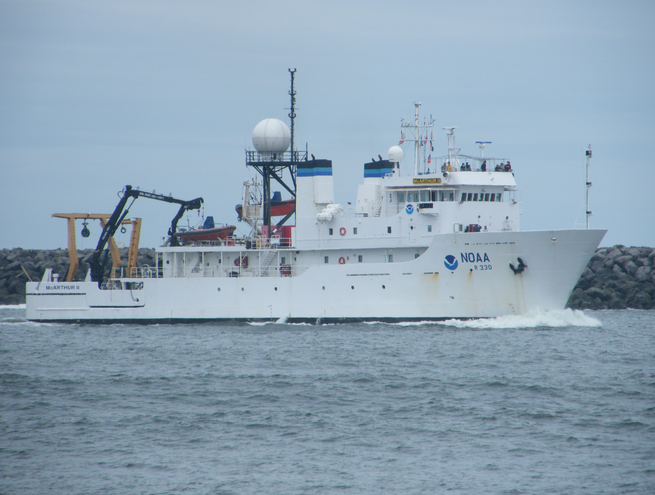 MacArthur II |
Anima, R.J., Chin, J.L., Conrad, J.E., and Golden, N.E., 2006, Benthic habitat and geologic mapping of the outer continental shelf of north-central California: U.S. Geological Survey Open-File Report 2006-1177, http://pubs.usgs.gov/of/2006/1177.
| Survey Equipment | Survey Info | Data Type(s) | Data Collected |
|---|---|---|---|
| underwater video | --- | Video | |
| GPS | --- | Navigation | Best file with nav in ArcInfo E00 format Global positioning system (GPS) data m-1-05-nc.064 (Provisional best file) Global positioning system (GPS) data m-1-05-nc.064_eotcssp |
| sidescansonar | --- | Sidescan | File list |
