AKA: none
Other ID: M-1-08-PS
Status: Completed
Organization(s): USGS, Pacific Coastal and Marine Science Center
Funding Program(s): Coastal Habitats in Puget Sound (ZP00AZZ)
Principal Investigator(s): Eric Grossman, Robert Kayen
Affiliate Investigator(s):
Information Specialist(s): Bradley Carkin, Diane Minasian
Data Type(s): Location-Elevation: Profiles
Scientific Purpose/Goals: Map complex tide flat geomorphology and quantify volumetric change and sediment transport through repeat surveys
Vehicle(s):
Start Port/Location: La Conner, WA
End Port/Location: La Conner, WA
Start Date: 2008-10-13
End Date: 2008-10-16
Equipment Used: topographic profiling
Information to be Derived: Surface elevation
Summary of Activity and Data Gathered:
Staff: Bradley Carkin, Eric Grossman, Robert Kayen, Diane Minasian
Affiliate Staff:
Notes: Coastal Habitats in Puget Sound Large River Deltas. Research Project Coastal Habitats in Puget Sound
Staff information imported from InfoBank
Eric Grossman
Rob Kayen
Diane Minasian
Brad Carkin
Location:
WA
| Boundaries | |||
|---|---|---|---|
| North: 49.75 | South: 47.25 | West: -125.75 | East: -122.25 |
Platform(s):
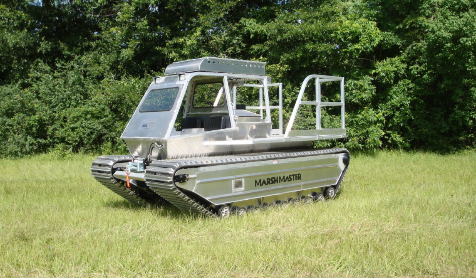 Marsh Master |
| Survey Equipment | Survey Info | Data Type(s) | Data Collected |
|---|---|---|---|
| topographic profiling | --- | Profiles Transects |
