AKA: none
Other ID: M-1-70-NC,ANTIPODE-1
Status: Completed
Organization(s): USGS, Pacific Coastal and Marine Science Center, University of California, Santa Cruz, Scripps Institution Of Oceanography, La Jolla, Ca
Funding Program(s):
Principal Investigator(s): Bill Normark
Affiliate Investigator(s): J.R. Curray (SCRIPPs)
Information Specialist(s):
Data Type(s): Electro-Magnetic: Magnetics, Location-Elevation: Navigation, Sampling: Biology, Sampling: Geology, Seismics: Air Gun / Water Gun, Sonar: Single Beam
Scientific Purpose/Goals: Geology and structure of the continental margin of California between Point Conception and Cape Mendocino. Activities include seismic reflection profiling, echo sounding, magnetics, rock dredging, dart coring, and piston coring.
Vehicle(s):
Start Port/Location: San Diego, CA
End Port/Location: San Francisco, CA
Start Date: 1970-06-15
End Date: 1970-06-29
Equipment Used: navigation, boxcore, gravitycore, dredge, pistoncore, dartcore, airgun, echosounder, magnetics
Information to be Derived: Seismic reflection profiles, bathymetry, magnetics, and core samples.
Summary of Activity and Data Gathered:
Staff:
Affiliate Staff:
Gary Griggs (UCSC) - Scientist
Notes:
Staff information imported from InfoBank
Bill Normark (USGS Western Region) - Chief Scientist
Eli Silver (USGS Western Region) - Chief Scientist
J.R. Curray (SCRIPPs) - Chief Scientist
Gary Griggs (UCSC) - Scientist
Location:
CA
| Boundaries | |||
|---|---|---|---|
| North: 38.25 | South: 33.75 | West: -124.75 | East: -118.25 |
Platform(s):
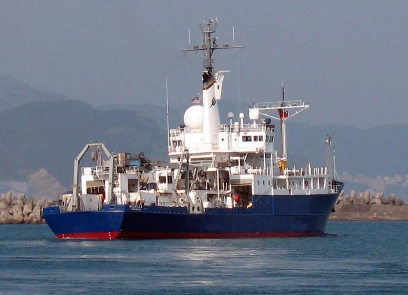 Melville |
| Survey Equipment | Survey Info | Data Type(s) | Data Collected |
|---|---|---|---|
| navigation | --- | Navigation | |
| boxcore | --- | Chemistry Biology Geology | |
| gravitycore | --- | Geology | |
| dredge | --- | Geology | |
| pistoncore | --- | Geology | |
| dartcore | --- | Geology | |
| airgun | --- | Air Gun / Water Gun | |
| echosounder | --- | Single Beam | |
| magnetics | --- | Magnetics |
