AKA: none
Other ID: M-1-76-SC,MEL176SC
Status: Completed
Organization(s):
Funding Program(s): Southern California Continental Borderland (MU270)
Principal Investigator(s): Bill Normark
Affiliate Investigator(s):
Information Specialist(s):
Data Type(s): Electro-Magnetic: Magnetics, Environmental Data: Temperature, Imagery: Video, Location-Elevation: Navigation, Sonar: Sidescan, Sonar: Single Beam
Scientific Purpose/Goals:
Vehicle(s):
Start Port/Location:
End Port/Location:
Start Date: 1976-04-10
End Date: 1976-04-21
Equipment Used: magnetics, temperature, navigation, LORAC, sidescansonar, underwatertelevision, miniranger, 12khz
Information to be Derived:
Summary of Activity and Data Gathered:
Staff: Sam Clarke, Harry Cook, Michael Field, Monty Hampton, Gordon Hess, Dave Piper, Bob Rowland, Gordon Tanner
Affiliate Staff:
Notes:
Staff information imported from InfoBank
Bill Normark - Chief Scientist
Gordon Hess - Scientist
Bob Rowland - Scientist
Dave Piper - Scientist
Harry Cook - Scientist
Mike Field - Scientist
Sam Clarke - Scientist
Gordon Tanner - Scientist
Monty Hampton - Scientist
Location:
San Diego Trough area
| Boundaries | |||
|---|---|---|---|
| North: 34.75 | South: 32.25 | West: -122.75 | East: -116.75 |
Platform(s):
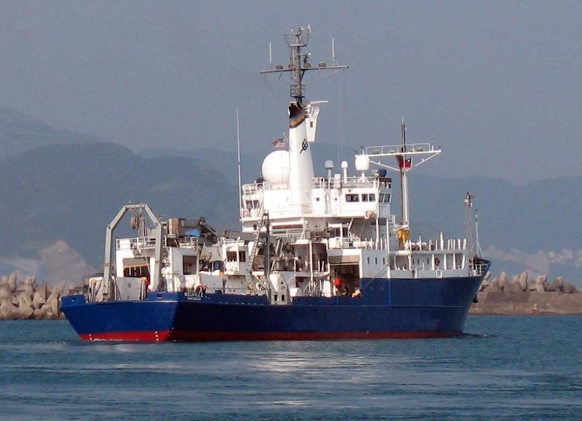 Melville |
Bowen, A.J., Normark, William R., and Piper, David J. W., 1984, Modelling of turbidity currents on Navy submarine fan, California continental borderland: Sedimentology,, v. 31 no. 2, pp. 169–185.
Ford, G.A., and Normark, W.R., 1980, Map showing a deep-tow geophysical study of the north end of the San Clemente Fault, California borderland: U. S. Geological Survey Miscellaneous Field Studies Map MF-1230, 1 p.
Normark, W.R., Alpha, T.R., and Hess, G.R., 1980, Geomorphic features of the Navy submarine fan, California continental borderland: U. S. Geological Survey Miscellaneous Field Studies Map MF-1135, 1 p.
Normark, W.R., Ford, G.A., and Chase, T.E., 1980, Trackline map and acoustic profiles showing deep-tow geophysical data from the northern segment of the San Clemente Fault, California borderland: U.S. Geological Survey Open-File Report 80-932, 2 p.
Normark, W.R., Hess, G.R., and Spiess, F.N.,, 1978, Mapping of small scale (outcrop-size) sedimentological features on modern submarine fans: Offshore Technology Conference Proceedings, v. 10 no. 1, pp. 593–598.
Normark, W.R., Piper, D.J.W., and Hess, G.R., 1979, Distributary channels, sand lobes, and mesotopography of Navy submarine fan, California Borderland, with applications to ancient fan sediments: Sedimentology, v. 26 no. 6, pp. 749–774.
Normark, W.R., Piper, D.J.W., and Hess, G.R., 1976, Distributary mesochannels, megaflutes, and microtopography of Navy submarine fan, California: , Geological Society of America, Abstracts with Programs. , pp. 1032–1032.
Normark, W.R., and Hess, Gordon R., 1980, Quaternary growth patterns of California submarine fans, in Field, Michael E., Bouma, Arnold H., Colburn, Ivan P., Douglas, Robert G., and Ingle, James C., eds., Proceedings of the Quaternary depositional environments of the Pacific Coast: Pacific Coast Paleogeography Symposium, no. 4, pp. 201–210.
Normark, W.R., and Piper, David J. W., 1984, Navy Fan, California borderland; growth pattern and depositional processes: Geo-Marine Letters, v. 3 no. 2-4, pp. 101–108.
Piper, D.J.W., and Normark, William R., 1983, Turbidite depositional patterns and flow characteristics, Navy submarine fan, California Borderland: Sedimentology, v. 30 no. 5, pp. 681–694.
| Survey Equipment | Survey Info | Data Type(s) | Data Collected |
|---|---|---|---|
| magnetics | --- | Magnetics | |
| temperature | --- | Temperature | |
| navigation | --- | Navigation | |
| LORAC | --- | Navigation | |
| sidescansonar | --- | Sidescan | 195509 108 03 30 LINE RECORDERX6 195509 108 16 30 LINE R+SLS 195509 108 16 44 LINE LEFT SLS 195509 108 18 58 LINE UP+P+DELAY 195509 109 23 45 LINE LEFT SLS 195509 110 06 19 LINE RSLS 195509 110 10 20 LINE P 195509 110 20 01 LINE UP+P 195509 110 21 40 LINE LSLS 195509 110 21 40 LINE RH SLS |
| underwatertelevision | --- | Video | |
| miniranger | --- | Navigation | |
| 12khz | --- | Single Beam |
