AKA: none
Other ID: M-1-97-NC,M9707
Status: Completed
Organization(s):
Funding Program(s): Strata Formations on Margins (Strataform) (MU278)
Principal Investigator(s): Homa Lee
Affiliate Investigator(s):
Information Specialist(s): Ken Israel
Data Type(s): Environmental Data: CTD, Location-Elevation: Navigation, Sampling: Biology, Sampling: Geology
Scientific Purpose/Goals: STRATA FORmation on Margins (STRATAFORM) was initiated in 1994 by the Office of Naval Research as a coordinated multi-investigator study of continental-margin sediment transport processes and stratigraphy. The program is investigating the stratigraphic signature of the shelf and slope portions of continental margins, and hopes to provide better understanding of the sedimentary record and better prediction of strata. The objective of the cruise was to execute a statistical variability study of the area by collecting multiple samples at individual locations. Emphasis was also placed on collecting several deep water cores.
Vehicle(s):
Start Port/Location:
End Port/Location:
Start Date: 1997-07-17
End Date: 1997-07-29
Equipment Used: pistoncore, CTD, GPS, boxcore
Information to be Derived: cores were analyzed using a multi-sensor core logger, yielding P-wave velocity, wet bulk density, and magnetic susceptibility data.
Summary of Activity and Data Gathered: 158 box cores and 58 piston cores.
Staff:
Affiliate Staff:
Notes:
Staff information imported from InfoBank
Homa Lee (USGS Western Region) - Chief Scientist
Location:
Northern California
| Boundaries | |||
|---|---|---|---|
| North: 41.1585 | South: 40.25363 | West: -124.745 | East: -124.2304 |
Platform(s):
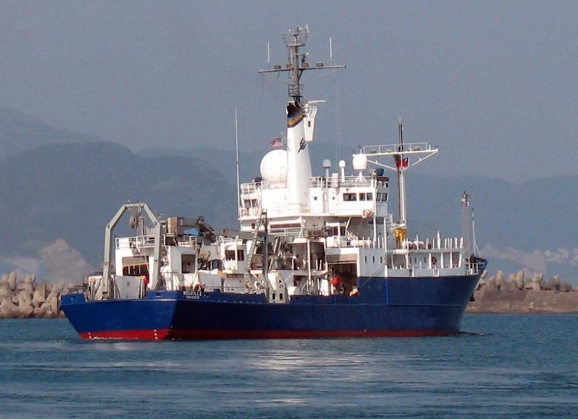 Melville |
Minasian, D.L., Lee, H.J., Locat, J., Orzech, K.M., Martz, G.R., and Israel, K., 2001, The STRATAFORM Project: geotechnical studies: U.S. Geological Survey Open-File Report 01-190, http://pubs.usgs.gov/of/2001/0190/.
| Survey Equipment | Survey Info | Data Type(s) | Data Collected |
|---|---|---|---|
| pistoncore | --- | Geology | A70 C70 CC90 O110 Q110 R110 Station Information S100A |
| CTD | --- | Surveys (geochemical) Experiments (geochemical) CTD | |
| GPS | --- | Navigation | Best file with nav in ArcInfo E00 format Global positioning system (GPS) data m-1-97-nc.060 (Provisional best file) |
| boxcore | --- | Biology Geology | Station Information |
