AKA: none
Other ID: M-5-05-MB
Status: Completed
Organization(s):
Funding Program(s):
Principal Investigator(s):
Affiliate Investigator(s):
Information Specialist(s): Joanne Thede
Data Type(s): Location-Elevation: Navigation, Time Series: Mooring (physical oceanography)
Scientific Purpose/Goals:
Vehicle(s):
Start Port/Location:
End Port/Location:
Start Date: 2005-01-01
End Date: 2005-01-01
Equipment Used: navigation, tripod
Information to be Derived:
Summary of Activity and Data Gathered:
Staff:
Affiliate Staff:
Notes: Related activity M505NC; deployment of moorings m784 deployed May 13, 2005 17:57 GMT Drop location: 36 47.452N 121 50.189W m785 deployed May 13, 2005 22:10 GMT Drop location: 36 50.714N 121 57.801W
Location:
Monterey Canyon and Soquel Canyon
| Boundaries | |||
|---|---|---|---|
| North: 37.25 | South: 36.5 | West: -122.75 | East: -121.75 |
Platform(s):
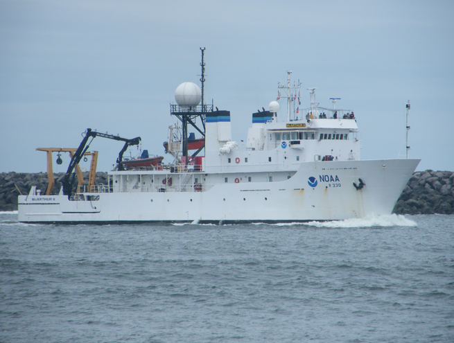 McArthur II |
| Survey Equipment | Survey Info | Data Type(s) | Data Collected |
|---|---|---|---|
| navigation | --- | Navigation | |
| tripod | --- | Mooring (physical oceanography) |
