AKA: none
Other ID: N-2-06-SC
Status: Completed
Organization(s): USGS, Pacific Coastal and Marine Science Center
Funding Program(s):
Principal Investigator(s): Marlene Noble
Affiliate Investigator(s):
Information Specialist(s): Joanne Thede
Data Type(s): Location-Elevation: Navigation, Time Series: Mooring (physical oceanography)
Scientific Purpose/Goals: Recovery of (N-1-06-SC) and redeployment of 3 surface moorings, 1 bottom instrument platform; some sediment samples taken
Vehicle(s):
Start Port/Location:
End Port/Location:
Start Date: 2006-09-19
End Date: 2006-09-20
Equipment Used: navigation, tripod
Information to be Derived:
Summary of Activity and Data Gathered:
Staff: Dave Gonzales, Marlene Noble, Kurt Rosenberger, Hal Williams, Jingping Xu, Joanne Thede
Affiliate Staff:
Notes: Recovered: 821 - 7 m Surface mooring (3 temperature sensors, 1 CT sensor) 822 - 11m micropod (1200 kHz ADCP, sonar imaging system, 2 transmissometers, HDV camera, CT logger) 823 - 11m surface mooring (3 temperature sensors, 1 CT sensor) 825 - 15 m surface mooring (4 temperature sensors, 1 CT sensor) Deployed: 829 - 7 m surface mooring with 3 temperature sensors, 2 CT sensors 830 - 11m micropod (1200 kHz ADCP,2 tranmissometers, CT sensor) 831 - 11m surface mooring with 3 temperature sensors, 2 CT sensors 832 - 15 m surface mooring with 4 temperature sensors, 2 CT sensors See associated field activity: N-1-06-SC N-3-06-SC
Staff information imported from InfoBank
Marlene Noble
Jingping Xu
Kurt Rosenberger
Hal Williams
Joanne Ferreira
Dave Gonzales
Location:
Southern California
| Boundaries | |||
|---|---|---|---|
| North: 33.63286 | South: 33.6229 | West: -117.981 | East: -117.97259 |
Platform(s):
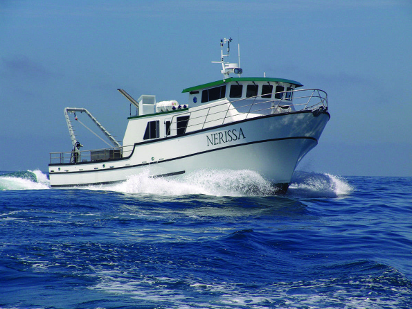 Nerissa |
| Survey Equipment | Survey Info | Data Type(s) | Data Collected |
|---|---|---|---|
| navigation | --- | Navigation | |
| tripod | --- | Mooring (physical oceanography) |
