AKA: none
Other ID: N-2-79-EG
Status: Completed
Organization(s):
Funding Program(s):
Principal Investigator(s):
Affiliate Investigator(s):
Information Specialist(s):
Data Type(s): Location-Elevation: Navigation, Sampling: Geology
Scientific Purpose/Goals:
Vehicle(s):
Start Port/Location:
End Port/Location:
Start Date: 1979-01-01
End Date: 1979-01-01
Equipment Used: navigation, samples
Information to be Derived:
Summary of Activity and Data Gathered:
Staff:
Affiliate Staff:
Notes:
Location:
Glacier Bay
| Boundaries | |||
|---|---|---|---|
| North: 61.75 | South: 54.25 | West: -143.75 | East: -132.25 |
Platform(s):
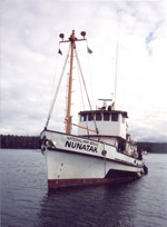 Nunatak |
| Survey Equipment | Survey Info | Data Type(s) | Data Collected |
|---|---|---|---|
| navigation | --- | Navigation | |
| samples | --- | Biology Chemistry Geology |
