AKA: none
Other ID: O-1-80-NC,GSI 80
Status: Completed
Organization(s): Ogle
Funding Program(s):
Principal Investigator(s):
Affiliate Investigator(s):
Information Specialist(s): Jonathan Childs
Data Type(s): Location-Elevation: Navigation, Seismics: Multichannel
Scientific Purpose/Goals:
Vehicle(s):
Start Port/Location:
End Port/Location:
Start Date: 1980-04-26
End Date: 1980-06-06
Equipment Used: navigation, Multichannel
Information to be Derived:
Summary of Activity and Data Gathered:
Staff:
Affiliate Staff:
Notes: Data received 05/01/2007 Cruise Report
Location:
Salinas and Santa Maria offshore basins
| Boundaries | |||
|---|---|---|---|
| North: 42.75 | South: 36.25 | West: -125.75 | East: -116.25 |
Platform(s):
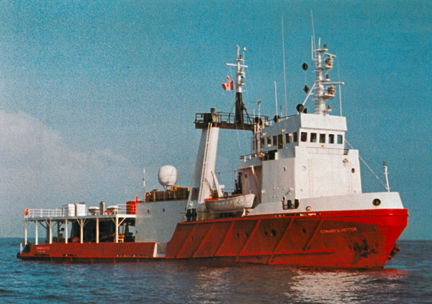 Edward O. Vetter |
| Survey Equipment | Survey Info | Data Type(s) | Data Collected |
|---|---|---|---|
| navigation | --- | Navigation | |
| Multichannel | --- | Multichannel | Survey information Scan o-1-80-nc.115.pdf |
