AKA: none
Other ID: S-1-05-MK
Status: Completed
Organization(s): USGS, Pacific Coastal and Marine Science Center
Funding Program(s): Coral Reef Project (MU069)
Principal Investigator(s): Michael Field
Affiliate Investigator(s):
Information Specialist(s): Joshua Logan
Data Type(s): Environmental Data: Current, Environmental Data: Turbidity, Location-Elevation: Navigation, Sampling: Chemistry
Scientific Purpose/Goals: Determine baseline suspended sediment levels for future comparison and evaluation of watershed restoration efforts.
Vehicle(s):
Start Port/Location:
End Port/Location:
Start Date: 2005-04-01
End Date: 2005-04-11
Equipment Used: Niskenbottle, currentmeter, GPS, opticalbackscattersensor
Information to be Derived: Baseline suspended sediment levels, current speed and direction, wind speed and direction
Summary of Activity and Data Gathered:
Staff: Rian Bogle, Pat Chavez, Susan Cochran, John Crockett, Michael Field, Joshua Logan, Kathy Presto, Thomas Reiss, Curt Storlazzi, Renee Takesue, Michael Torresan
Affiliate Staff:
Charlene Tetlak - Geologist USGS CMG
Eric Wong - instrumentation USGS NMD
Andrea Ogston - Oceanographer Univ. of Washington
Paul Jokiel - Marine Biologist Univ. of Hawaii
Ku'ulei Rodgers - Marine Biologist Univ. of Hawaii
Will Smith - Geographer Univ. of Hawaii
Kana Uchino - Marine Biologist Univ. of Hawaii
Jon Stock - Geologist USGS GD
Barry Hill - Hydrologist USGS WRD
Eric Brown - Marine Ecologist National Park Service
Notes: Reef flat walking transects, small boats, sea-kayaks Data exists on Makai/ots/Hawaii/Molokai
Staff information imported from InfoBank
Mike Field - Chief Scientist USGS CMG
Susie Cochran - Geologist USGS CMG
Kathy Presto (USGS CMG) - Oceanographer
Curt Storlazzi - Oceanographer USGS CMG
Renee Takesue - Geochemist USGS CMG
Mike Torresan - Geologist USGS CMG
Charlene Tetlak - Geologist USGS CMG
Tom Reiss - Oceanographer USGS CMG
Josh Logan - Information Specialist USGS CMG
Pat Chavez - Remote Sensing Specialist USGS NMD
Rian Bogle - instrumentation USGS NMD
Eric Wong - instrumentation USGS NMD
Andrea Ogston - Oceanographer Univ. of Washington
John Crockett - Oceanographer Univ. of Washington
Paul Jokiel - Marine Biologist Univ. of Hawaii
Ku'ulei Rodgers - Marine Biologist Univ. of Hawaii
Will Smith - Geographer Univ. of Hawaii
Kana Uchino - Marine Biologist Univ. of Hawaii
Jon Stock - Geologist USGS GD
Barry Hill - Hydrologist USGS WRD
Eric Brown - Marine Ecologist National Park Service
Location:
Hawaii
| Boundaries | |||
|---|---|---|---|
| North: 21.08339 | South: 21.04264 | West: -157.016 | East: -156.88687 |
Platform(s):
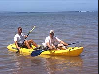 Kayak | 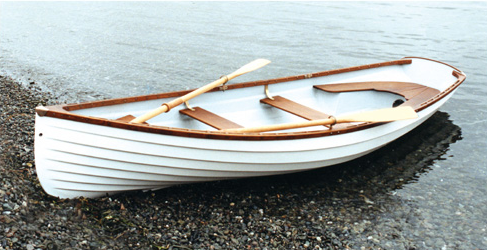 Small Boat |  on foot |
| Survey Equipment | Survey Info | Data Type(s) | Data Collected |
|---|---|---|---|
| Niskenbottle | --- | Chemistry | |
| currentmeter | --- | Current | |
| GPS | --- | Navigation | Best file with nav in ArcInfo E00 format Global positioning system (GPS) data s-1-05-mk.060 (Provisional best file) |
| opticalbackscattersensor | --- | Turbidity |
