AKA: none
Other ID: SURV72L1
Status: Completed
Organization(s): USGS, Pacific Coastal and Marine Science Center
Funding Program(s):
Principal Investigator(s):
Affiliate Investigator(s):
Information Specialist(s):
Data Type(s): Electro-Magnetic: Gravity, Electro-Magnetic: Magnetics, Seismics: Boomer, Sonar: Single Beam, Seismics: Sub Bottom Profiler
Scientific Purpose/Goals:
Vehicle(s):
Start Port/Location:
End Port/Location:
Start Date: 1972-05-09
End Date: 1972-06-26
Equipment Used: bathnav, bathymetry, Other, 3.5khz, magnetics, gravity, uniboom
Information to be Derived:
Summary of Activity and Data Gathered: FACS ID created because USGS has microfilm holdings
Staff:
Affiliate Staff:
Notes:
Location:
Washington, Northern Pacific
| Boundaries | |||
|---|---|---|---|
| North: 49.53946901 | South: 40.77974905 | West: -126.958 | East: -123.40332031 |
Platform(s):
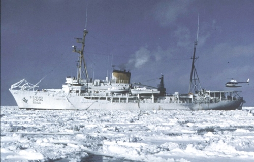 Surveyor |
| Survey Equipment | Survey Info | Data Type(s) | Data Collected |
|---|---|---|---|
| bathnav | --- | Navigation Single Beam | |
| bathymetry | --- | Single Beam | |
| Other | --- | --- | --- |
| 3.5khz | --- | Sub Bottom Profiler | |
| magnetics | --- | Magnetics | |
| gravity | --- | Gravity | |
| uniboom | --- | Boomer |
