AKA: none
Other ID: S-1-76-SC,EBS1-76-SC
Status: Completed
Organization(s): USGS, Pacific Coastal and Marine Science Center
Funding Program(s): Southern California Continental Borderland (MU270)
Principal Investigator(s): Jack Vedder
Affiliate Investigator(s):
Information Specialist(s):
Data Type(s): Location-Elevation: Navigation, Sampling: Geology, Sonar: Single Beam
Scientific Purpose/Goals:
Vehicle(s):
Start Port/Location:
End Port/Location:
Start Date: 1976-09-23
End Date: 1976-10-03
Equipment Used: bathymetry, deadreckoning, dartcore
Information to be Derived:
Summary of Activity and Data Gathered:
Staff: Jim Crouch
Affiliate Staff:
Notes:
Staff information imported from InfoBank
Jack Vedder (USGS Western Region) - Chief Scientist
Jim Crouch (USGS Western Region) - Geologist
Location:
Southern California
| Boundaries | |||
|---|---|---|---|
| North: 33.65583 | South: 32.2939 | West: -120.652 | East: -118.50224 |
Platform(s):
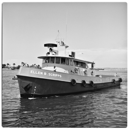 Ellen B Scripps |
Arnal, R.E., and Vedder, J.G., 1976, Late Miocene paleobathymetry of California continental borderland north of 32 degrees: American Association of Petroleum Geologists Bulletin, v. 60 no. 12, pp. 1–8, URL: http://archives.datapages.com/data/pac_sepm/017/017001/pdfs/1.html.
Vedder, J.G., Crouch, J.K., Arnal, R.E., Bukry, D., Barron, J.A., and Lee-Wong, F., 1977, Description of pre-Quaternary samples, R/V Ellen B. Scripps, September 1976, Patton Ridge to Blake Knolls, southern California continental borderland: U.S. Geological Survey Open-File Report 77-0474, 19 p.
