AKA: none
Other ID: S-5-79-EG
Status: Completed
Organization(s):
Funding Program(s):
Principal Investigator(s): Paul Carlson, Rod Combellick, Bruce Molnia
Affiliate Investigator(s):
Information Specialist(s):
Data Type(s): Location-Elevation: Navigation, Sampling: Geology, Seismics: Sparker, Seismics: Sub Bottom Profiler
Scientific Purpose/Goals:
Vehicle(s):
Start Port/Location:
End Port/Location:
Start Date: 1979-09-06
End Date: 1979-09-14
Equipment Used: 3.5khz, sparker, Shipekgrab, navigation, gravitycore
Information to be Derived:
Summary of Activity and Data Gathered:
Staff:
Affiliate Staff:
B.I. Williams - Ship Captain
Notes: NOAA data
Staff information imported from InfoBank
R. Combellick - Chief Scientist
Bruce Molnia (USGS Western Region) - Chief Scientist
Paul Carlson (USGS Western Region) - Chief Scientist
B.I. Williams - Ship Captain
Location:
Northeast Gulf of Alaska
| Boundaries | |||
|---|---|---|---|
| North: 59.23333 | South: 58.515 | West: -140.463 | East: -138.83667 |
Platform(s):
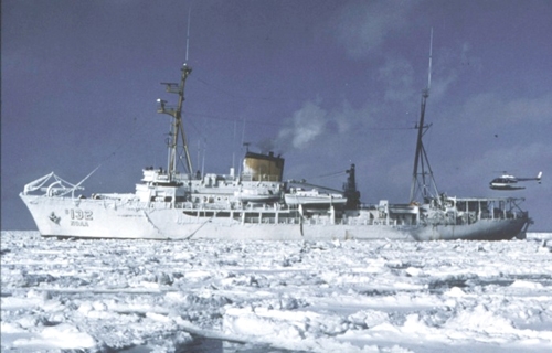 Surveyor |
| Survey Equipment | Survey Info | Data Type(s) | Data Collected |
|---|---|---|---|
| 3.5khz | --- | Sub Bottom Profiler | |
| sparker | --- | Sparker | |
| Shipekgrab | --- | Geology | Station Information |
| navigation | --- | Navigation | Integrated navigation (SINS) data s-5-79-eg.050 (Provisional best file) Best file with nav in ArcInfo E00 format |
| gravitycore | --- | Geology | Station Information |
