AKA: none
Other ID: S-T3-10-GB
Status: Completed
Organization(s): USGS, Pacific Coastal and Marine Science Center
Funding Program(s): National Seafloor Mapping and Benthic Habitat Studies (MU195)
Principal Investigator(s): Guy Cochrane
Affiliate Investigator(s):
Information Specialist(s): Nadine Golden
Data Type(s): Imagery: Photo, Imagery: Video, Location-Elevation: Navigation
Scientific Purpose/Goals: Habitat mapping
Vehicle(s):
Start Port/Location: Juneau AK
End Port/Location: Juneau AK
Start Date: 2010-08-27
End Date: 2010-09-09
Equipment Used: GPS, underwater video, camera
Information to be Derived: Substrate type, benthic flora, benthic fauna
Summary of Activity and Data Gathered: Video habittat survey of the west arm of Glacier Bay using towed camera sled and ROV.
Staff: Guy Cochrane, Gerry Hatcher
Affiliate Staff:
Jamie Grover
Timothy Hodson
Notes: Staff information imported from InfoBank
Guy Cochrane
Gerry Hatcher
Jamie Grover
Timothy Hodson
Location:
Glacier Bay
| Boundaries | |||
|---|---|---|---|
| North: 59.05287 | South: 58.48691 | West: -137.099 | East: -136.05398 |
Platform(s):
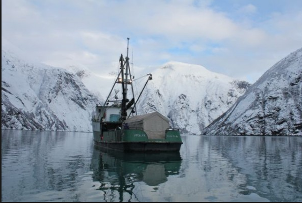 Steller |
Hodson, T.O., Cochrane, G.R., Powell, R.D., 2013, Marine benthic habitat mapping of the West Arm, Glacier Bay National Park and Preserve, Alaska: U.S. Geological Survey Scientific Investigations Map, http://pubs.usgs.gov/sim/3253/.
FAN ST310GB has data viewable in the CMGP Video and Photograph Portal. View the data in this application here. See the instructions for working with this application.
| Survey Equipment | Survey Info | Data Type(s) | Data Collected |
|---|---|---|---|
| GPS | --- | Navigation | Best file with nav in ArcInfo E00 format Global positioning system (GPS) data s-t3-10-gb.064 (Provisional best file) |
| underwater video | --- | Video | |
| camera | --- | Photo |
