AKA: none
Other ID: T-R4-12-PS
Status: Completed
Organization(s): USGS, Pacific Coastal and Marine Science Center, National Park Service
Funding Program(s):
Principal Investigator(s): Jonathan Warrick
Affiliate Investigator(s):
Information Specialist(s):
Data Type(s): Imagery: Photo, Time Series: Mooring (physical oceanography)
Scientific Purpose/Goals: Long-term measurement of currents, waves, and acoustic backscatter
Vehicle(s):
Start Port/Location: Port Angeles, WA
End Port/Location: Port Angeles, WA
Start Date: 2012-10-12
End Date: 2012-10-12
Equipment Used: underwatercamera, tripod
Information to be Derived: current velocities, wave height, period and directions, water turbidity from acoustic and optical backscatterance
Summary of Activity and Data Gathered:
Staff: Joanne Thede
Affiliate Staff:
Notes: These are long-term tripods that are resupplied with batteries, zincs, and other materials on a 6 month interval. ELW11A1T, ELW11B1T
Staff information imported from InfoBank
Joanne Ferreira
Non USGS data manager = Jon Warrick
Location:
Offshore of the Elwha River delta
| Boundaries | |||
|---|---|---|---|
| North: 49.75 | South: 47.25 | West: -125.75 | East: -122.25 |
Platform(s):
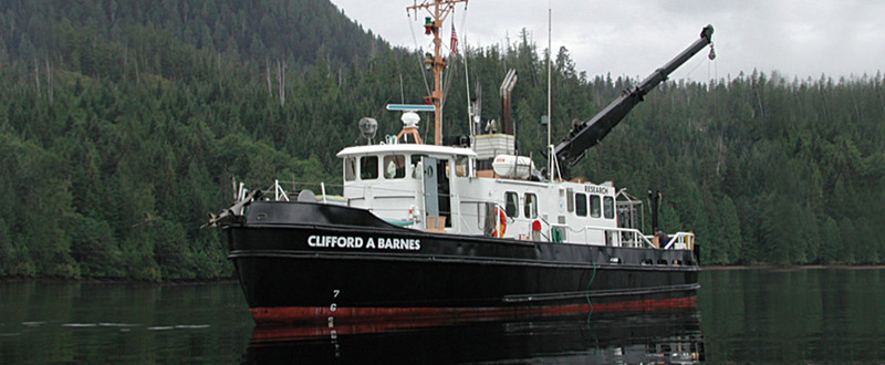 Clifford A. Barnes |
Foley, M.M., and Warrick, J.A., 2017, Characterization of seafloor photographs near the mouth of the Elwha River during the first two years of dam removal (2011-2013): U.S. Geological Survey data release.
| Survey Equipment | Survey Info | Data Type(s) | Data Collected |
|---|---|---|---|
| underwatercamera | --- | Video Photo | |
| tripod | --- | Mooring (physical oceanography) |
