AKA: none
Other ID: W-1-77-AR
Status: Completed
Organization(s): USGS, Pacific Coastal and Marine Science Center, University of Alaska
Funding Program(s): Outer Continental Shelf Energy Program (OCSEAP) (MU221)
Principal Investigator(s): Peter Barnes
Affiliate Investigator(s): David McDowell (University of Alaska),Ron Metzner (University of Alaska)
Information Specialist(s):
Data Type(s): Location-Elevation: Navigation, Sonar: Sidescan, Sonar: Single Beam
Scientific Purpose/Goals: Underlay ice gouge information with ice ridge and ice motion data from time lapse radar of Lou Shipiro, University of Alaska. Side scan mosaic is goal.
Vehicle(s):
Start Port/Location: Barrow, AK
End Port/Location: Barrow, AK
Start Date: 1977-09-29
End Date: 1977-10-02
Equipment Used: sidescansonar, Range finder, bathymetry
Information to be Derived: Side scan mosaic and detailed bathymetry
Summary of Activity and Data Gathered: Shore normal transects 140/320 deg t 200 m apart off (n and s) radar site at Narl center line = 0. Lines 1n to 9n and (a to n) and longer line "ranged" on two large fuel tanks at north end of Narl runway (132/312 deg t). lines 1s to 5s.
Staff:
Affiliate Staff:
Notes: Starting and ending ports at barrow, ak
Staff information imported from InfoBank
Peter Barnes (USGS Western Region) - Chief Scientist
David McDowell (University of Alaska) - Chief Scientist
Ron Metzner (University of Alaska) - Chief Scientist
Location:
Alaska
| Boundaries | |||
|---|---|---|---|
| North: 80.75 | South: 63.25 | West: -176.75 | East: -138.25 |
Platform(s):
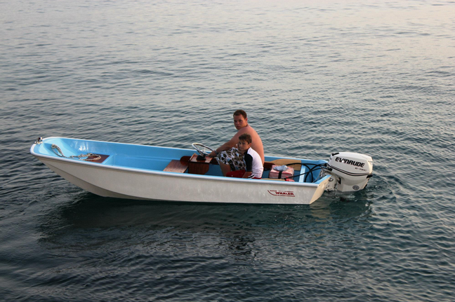 Whaler |
Shapiro, L.H., and Barnes, Peter W., 1991, Correlation of nearshore ice movement with seabed ice gouges near Barrow, Alaska: Journal of Geophysical Research, C, Oceans, v. 96 no. 9, pp. 16,979–16,989.
| Survey Equipment | Survey Info | Data Type(s) | Data Collected |
|---|---|---|---|
| sidescansonar | --- | Sidescan | |
| Range finder | --- | Navigation | |
| bathymetry | --- | Single Beam |
