AKA: none
Other ID: W-2-06-HW
Status: Completed
Organization(s): USGS, Pacific Coastal and Marine Science Center, National Park Service
Funding Program(s): Coral Reef Project (MU069)
Principal Investigator(s): Eric Grossman
Affiliate Investigator(s): Adina Paytan (Chief Scientist, Stanford University) - Co
Information Specialist(s): Joshua Logan
Data Type(s): Location-Elevation: Navigation, Sampling: Chemistry, Time Series: Mooring (physical oceanography)
Scientific Purpose/Goals: Map and measure groundwater flux through coastal zone using CTD mapping, Ra isotope and nutrient analyses; deploy instrumentation to measure nearshore circulation
Vehicle(s):
Start Port/Location: Honokohau Harbor, Kailua-Kona, HI
End Port/Location: Honokohau Harbor, Kailua-Kona, HI
Start Date: 2006-04-03
End Date: 2006-04-10
Equipment Used: navigation, waterbucket, instrumentmooring
Information to be Derived: Temperature, salinity, turbidity, photosynthetic available radiation, dissolved oxygen, Chlorophyll, nearshore current velocities, wave heights, Ra activities and nutrient concentrations
Summary of Activity and Data Gathered:
Staff: Eric Grossman, Kathy Presto, Curt Storlazzi
Affiliate Staff:
Karen Knee (Stanford University) - Scientist
Rebecca Most (NPS) - Physical Scientist
Sallie Beavers (NPS) - Scientist
Notes: This is related to a recovery of instruments deployed under W-1-06-HW. Data exists on Makai/ots/Hawaii/Hawaii
Staff information imported from InfoBank
Eric Grossman - chief scientist
Curt Storlazzi - scientist
Josh Logan (USGS) - Information Specialist
Kathy Presto (USGS) - Physical Scientist
Adina Paytan (Chief Scientist, Stanford University) - Co
Karen Knee (Stanford University) - Scientist
Rebecca Most (NPS) - Physical Scientist
Sallie Beavers (NPS) - Scientist
Location:
Hawaii
| Boundaries | |||
|---|---|---|---|
| North: 19.6873 | South: 19.6693 | West: -156.033 | East: -156.0196 |
Platform(s):
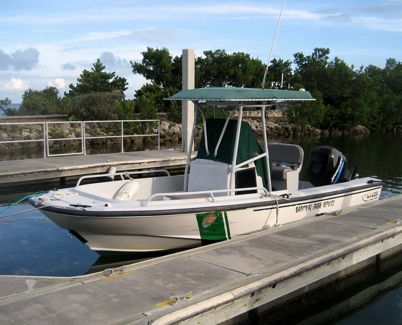 NPS Whaler |
Knee, K.L., Street, J.H, Grossman, E.E., Boehm, A.B. and Paytan, A., 2010, Nutrient inputs to the coastal ocean from submarine groundwater discharge in a groundwater-dominated system: Relation to land use (Kona coast, Hawaii, U.S.A.): Limnology and Oceanography, v. 55 no. 3, pp. 1105–1122, doi: 10.4319/lo.2010.55.3.1105.
| Survey Equipment | Survey Info | Data Type(s) | Data Collected |
|---|---|---|---|
| navigation | --- | Navigation | Best file with nav in ArcInfo E00 format Global positioning system (GPS) data w-2-06-hw.060 Global positioning system (GPS) data w-2-06-hw.061 (Provisional best file) |
| waterbucket | --- | Chemistry | Station Information |
| instrumentmooring | --- | Geology Mooring (physical oceanography) |
