AKA: none
Other ID: Z-1-91-BG
Status: Completed
Organization(s):
Funding Program(s):
Principal Investigator(s): Paul Carlson, Bruce Molnia, Dick Tagg
Affiliate Investigator(s):
Information Specialist(s):
Data Type(s): Location-Elevation: Navigation, Seismics: Sub Bottom Profiler
Scientific Purpose/Goals:
Vehicle(s):
Start Port/Location:
End Port/Location:
Start Date: 1991-06-23
End Date: 1991-06-28
Equipment Used: integratednavigation, subbottomprofiler
Information to be Derived:
Summary of Activity and Data Gathered:
Staff: Austin Post
Affiliate Staff:
Roy ? (Volunteer) - Unspecified Investigator
Notes: Bathy profiling aboard a Zodiac in Bering Glacier
Staff information imported from InfoBank
Dick Tagg (USGS Western Region) - Chief Scientist
Bruce Molnia (USGS Western Region) - Chief Scientist
Austin Post (USGS Tacoma) - Geologist
Roy ? (Volunteer) - Unspecified Investigator
Location:
Alaska
| Boundaries | |||
|---|---|---|---|
| North: 60.19897 | South: 60.04827 | West: -143.643 | East: -143.231 |
Platform(s):
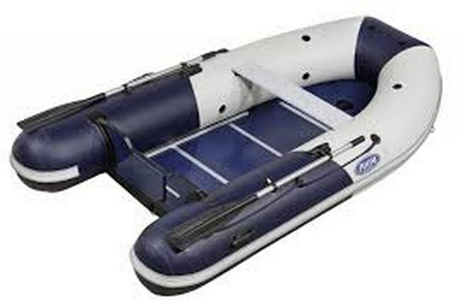 Zodiac |
| Survey Equipment | Survey Info | Data Type(s) | Data Collected |
|---|---|---|---|
| integratednavigation | --- | Navigation | Z-1-91-BG_153747_lowrance (scanned microfilm) Best file with nav in ArcInfo E00 format Integrated navigation (SINS) data z-1-91-bg.051 Integrated navigation (SINS) data z-1-91-bg.050 Integrated navigation (SINS) data z-1-91-bg.052 (Provisional Best File) Integrated navigation (SINS) data z-1-91-bg.052_degree |
| subbottomprofiler | --- | Sub Bottom Profiler |
