Search results: 8927 total images match this query.
Select checkboxes next to an image, or click the "Select all on page" button, then click one of the buttons to perform an action.
Click on an image thumbnail to see an individual image and its details.
Click on a column header to sort the images on this page by that column.
| Image | Field Activity Number | Filename | GPS Date | GPS Time | IDS Landing Page | DOI | |
|---|---|---|---|---|---|---|---|
|
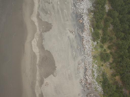
2017-666-FA | F07_20170808T222106Z_RA000224.JPG | 2017-08-08 | 22:22:22 | https://doi.org/10.5066/P9BVTVAW | ||
|
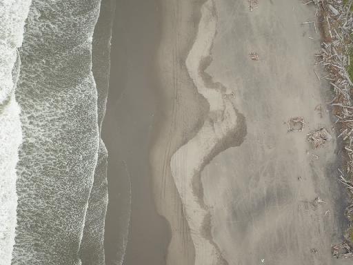
2017-666-FA | F07_20170808T222052Z_RA000217.JPG | 2017-08-08 | 22:22:08 | https://doi.org/10.5066/P9BVTVAW | ||
|
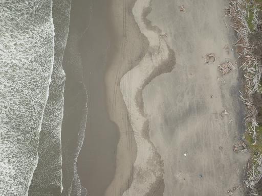
2017-666-FA | F07_20170808T222050Z_RA000216.JPG | 2017-08-08 | 22:22:06 | https://doi.org/10.5066/P9BVTVAW | ||
|
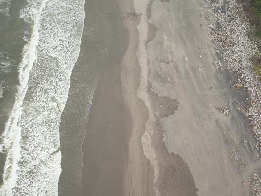
2017-666-FA | F07_20170808T222104Z_RA000223.JPG | 2017-08-08 | 22:22:20 | https://doi.org/10.5066/P9BVTVAW | ||
|
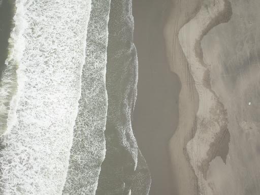
2017-666-FA | F07_20170808T222046Z_RA000214.JPG | 2017-08-08 | 22:22:02 | https://doi.org/10.5066/P9BVTVAW | ||
|
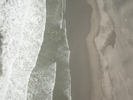
2017-666-FA | F07_20170808T222042Z_RA000212.JPG | 2017-08-08 | 22:21:58 | https://doi.org/10.5066/P9BVTVAW | ||
|
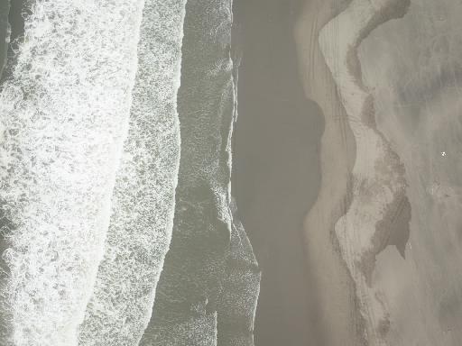
2017-666-FA | F07_20170808T222044Z_RA000213.JPG | 2017-08-08 | 22:22:00 | https://doi.org/10.5066/P9BVTVAW | ||
|
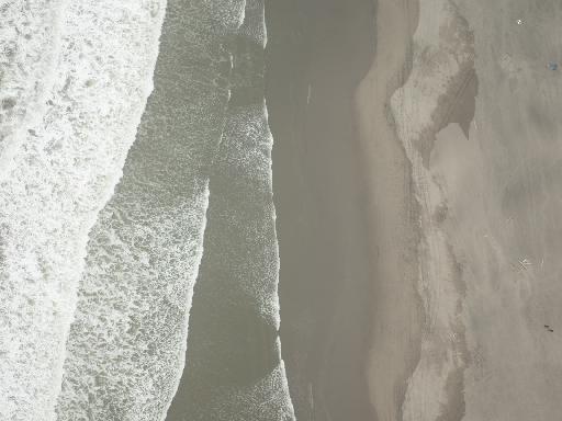
2017-666-FA | F07_20170808T222040Z_RA000211.JPG | 2017-08-08 | 22:21:56 | https://doi.org/10.5066/P9BVTVAW | ||
|
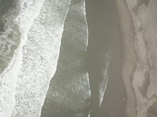
2017-666-FA | F07_20170808T222036Z_RA000209.JPG | 2017-08-08 | 22:21:52 | https://doi.org/10.5066/P9BVTVAW | ||
|
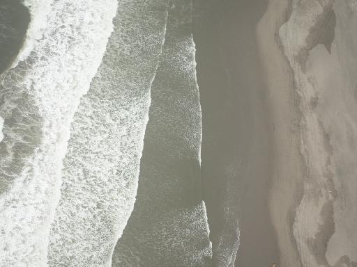
2017-666-FA | F07_20170808T222038Z_RA000210.JPG | 2017-08-08 | 22:21:54 | https://doi.org/10.5066/P9BVTVAW | ||
|
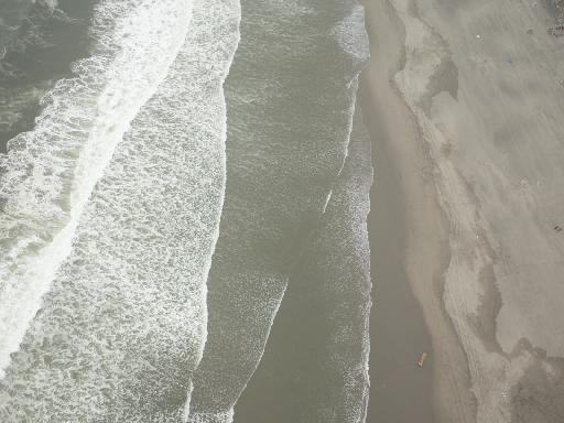
2017-666-FA | F07_20170808T222028Z_RA000205.JPG | 2017-08-08 | 22:21:44 | https://doi.org/10.5066/P9BVTVAW | ||
|
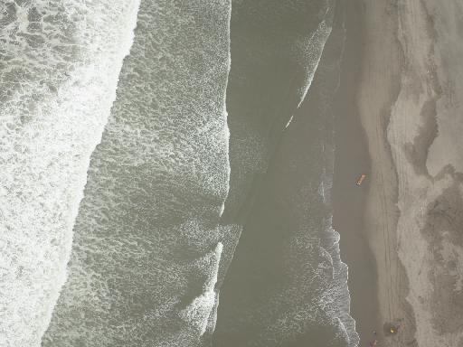
2017-666-FA | F07_20170808T222032Z_RA000207.JPG | 2017-08-08 | 22:21:48 | https://doi.org/10.5066/P9BVTVAW | ||
|
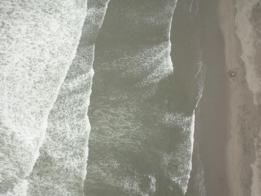
2017-666-FA | F07_20170808T222024Z_RA000203.JPG | 2017-08-08 | 22:21:40 | https://doi.org/10.5066/P9BVTVAW | ||
|
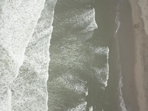
2017-666-FA | F07_20170808T222022Z_RA000202.JPG | 2017-08-08 | 22:21:38 | https://doi.org/10.5066/P9BVTVAW | ||
|
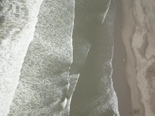
2017-666-FA | F07_20170808T222030Z_RA000206.JPG | 2017-08-08 | 22:21:46 | https://doi.org/10.5066/P9BVTVAW | ||
|
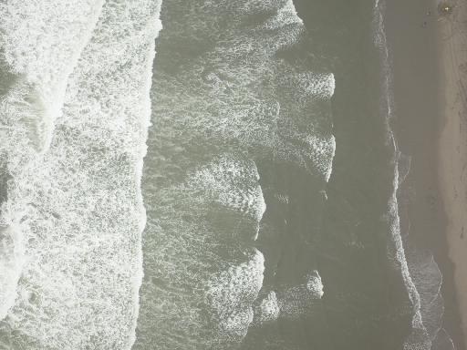
2017-666-FA | F07_20170808T222020Z_RA000201.JPG | 2017-08-08 | 22:21:36 | https://doi.org/10.5066/P9BVTVAW | ||
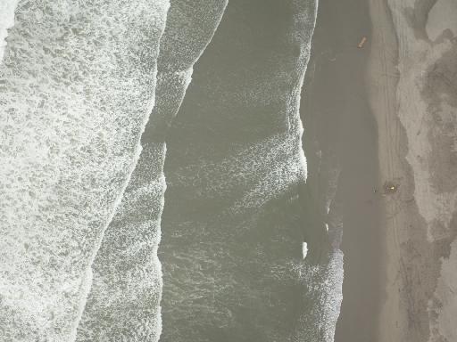
|
2017-666-FA | F07_20170808T222026Z_RA000204.JPG | 2017-08-08 | 22:21:42 | https://doi.org/10.5066/P9BVTVAW | ||
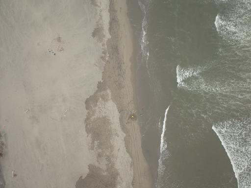
|
2017-666-FA | F07_20170808T222002Z_RA000192.JPG | 2017-08-08 | 22:21:18 | https://doi.org/10.5066/P9BVTVAW | ||
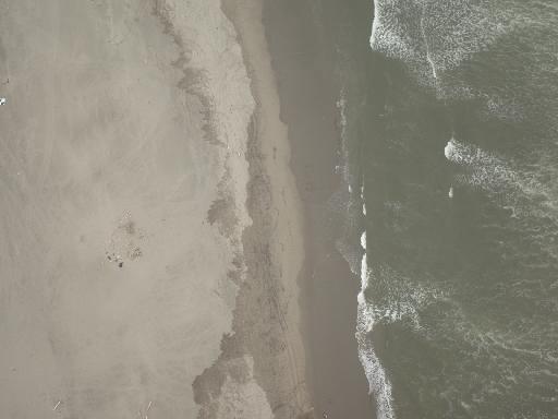
|
2017-666-FA | F07_20170808T222006Z_RA000194.JPG | 2017-08-08 | 22:21:22 | https://doi.org/10.5066/P9BVTVAW | ||
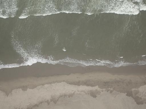
|
2017-666-FA | F07_20170808T222012Z_RA000197.JPG | 2017-08-08 | 22:21:28 | https://doi.org/10.5066/P9BVTVAW | ||
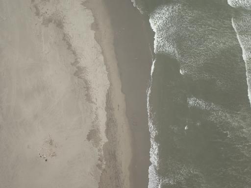
|
2017-666-FA | F07_20170808T222008Z_RA000195.JPG | 2017-08-08 | 22:21:24 | https://doi.org/10.5066/P9BVTVAW | ||
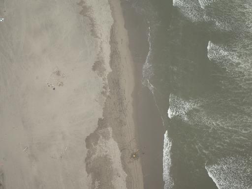
|
2017-666-FA | F07_20170808T222004Z_RA000193.JPG | 2017-08-08 | 22:21:20 | https://doi.org/10.5066/P9BVTVAW | ||
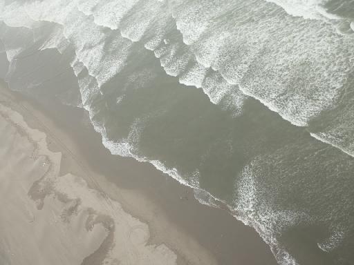
|
2017-666-FA | F07_20170808T222010Z_RA000196.JPG | 2017-08-08 | 22:21:26 | https://doi.org/10.5066/P9BVTVAW | ||
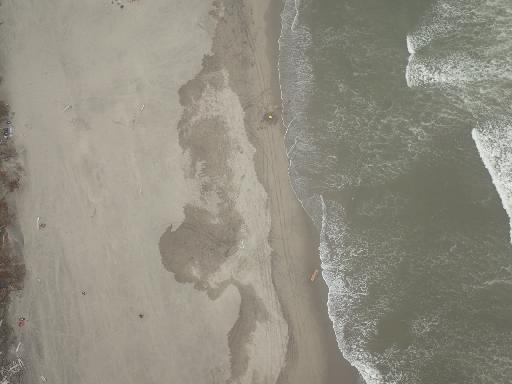
|
2017-666-FA | F07_20170808T221958Z_RA000190.JPG | 2017-08-08 | 22:21:14 | https://doi.org/10.5066/P9BVTVAW | ||
|
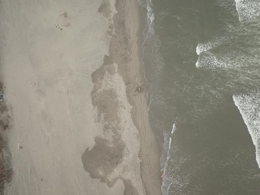
2017-666-FA | F07_20170808T222000Z_RA000191.JPG | 2017-08-08 | 22:21:16 | https://doi.org/10.5066/P9BVTVAW | ||
|
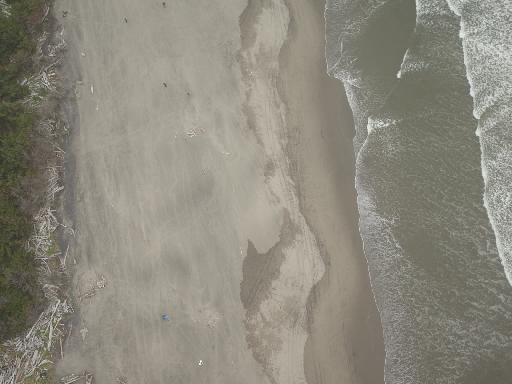
2017-666-FA | F07_20170808T221948Z_RA000185.JPG | 2017-08-08 | 22:21:04 | https://doi.org/10.5066/P9BVTVAW | ||
|
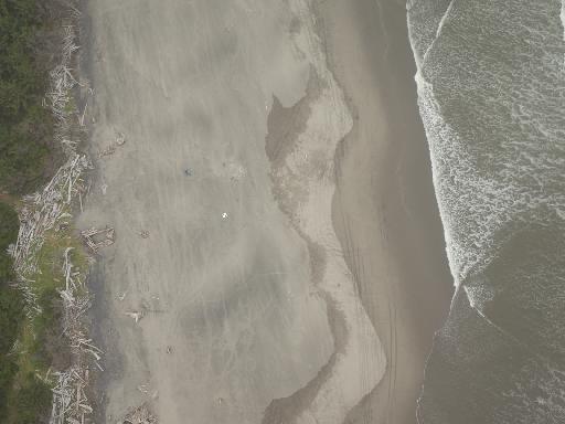
2017-666-FA | F07_20170808T221944Z_RA000183.JPG | 2017-08-08 | 22:21:00 | https://doi.org/10.5066/P9BVTVAW | ||
|
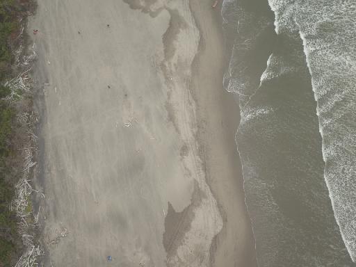
2017-666-FA | F07_20170808T221950Z_RA000186.JPG | 2017-08-08 | 22:21:06 | https://doi.org/10.5066/P9BVTVAW | ||
|
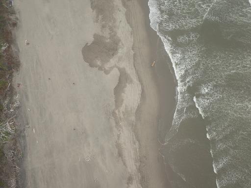
2017-666-FA | F07_20170808T221954Z_RA000188.JPG | 2017-08-08 | 22:21:10 | https://doi.org/10.5066/P9BVTVAW | ||
|
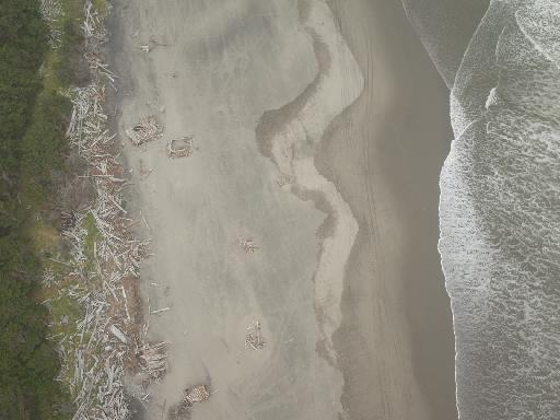
2017-666-FA | F07_20170808T221936Z_RA000179.JPG | 2017-08-08 | 22:20:52 | https://doi.org/10.5066/P9BVTVAW |