The image displayed on this page is a thumbnail, please use the download function to obtain the full-resolution image.
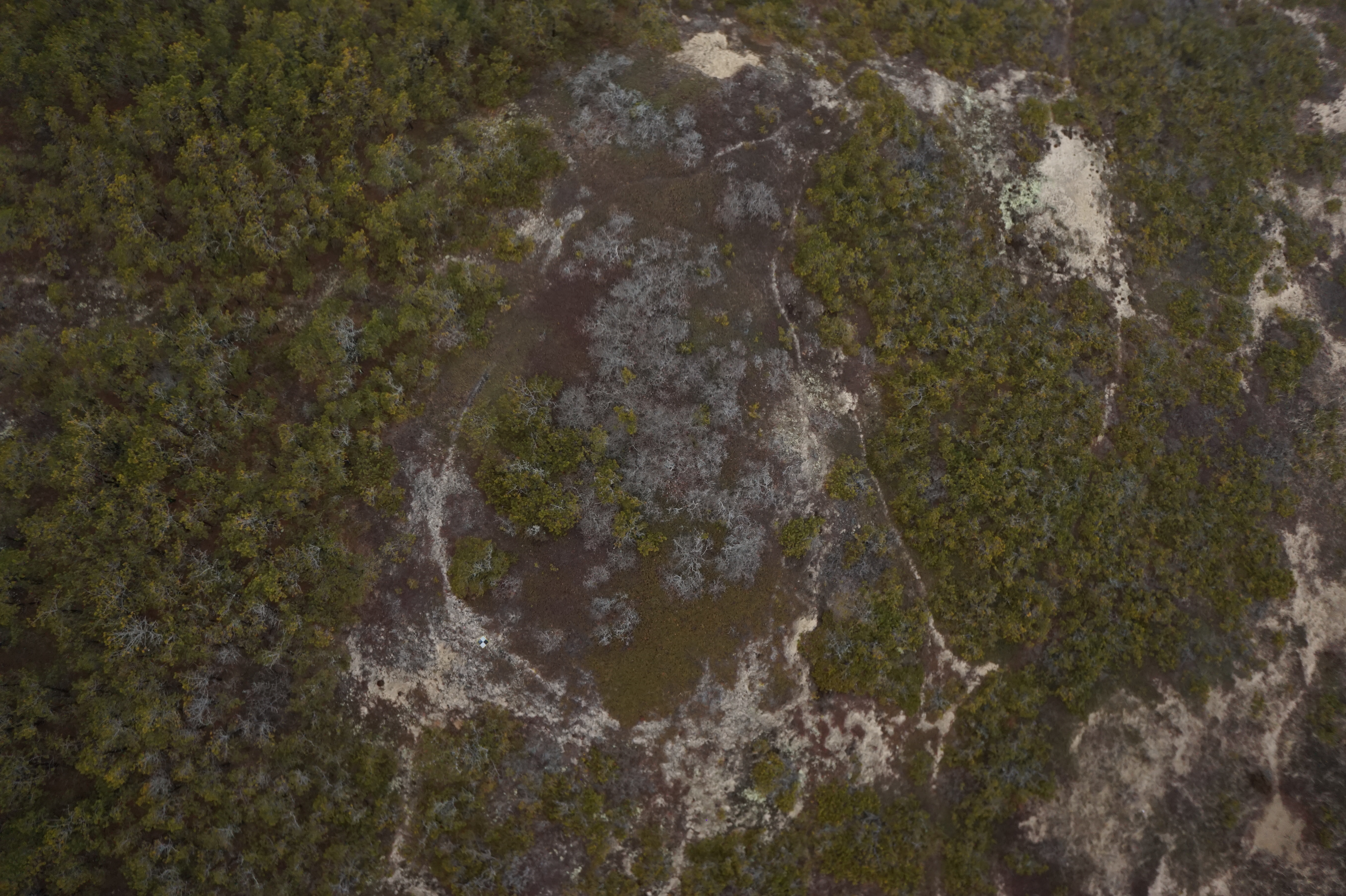
Filename: 2025005FA_f01YSMP_20250306T172426Z_DSC01160.JPG
This image is part of the data release: Topographic and bathymetric data, aerial imagery, and GPS data collected during UxS operations at Marconi Beach, Cape Cod National Seashore, Massachusetts between September 2024 and March 2025