The image displayed on this page is a thumbnail, please use the download function to obtain the full-resolution image.
Filename: 2019009FA_r01f01_20190328T152413Z_P0045887.JPG
This image is part of the data release:
Aerial imagery collected during uncrewed aircraft systems (UAS) operations and ground control points: Plum Island Estuary and Parker River NWR (PIEPR), November 14, 2017 and March 28, 2019
Image data:
- Keywords:
- Collection:
2019_PlumIs_Ricoh
- Field activity number:
2019-009-FA:
More images from FAN |
CMGDS details
- Topic: Geology, Mapping, Remote Sensing, and Geospatial Data
- Purpose: Field activity
- Class: Uncrewed Aircraft System, Structure-from-Motion
- Subject: marsh
- Semantic Location: Plum Island Estuary
- Science Center: Woods Hole Coastal and Marine Science Center
- File Size: 6331352 bytes
Imagery header data:
- Credit: U.S. Geological Survey
- Contact: WHSC_data_contact@usgs.gov
- Copyright: Public Domain
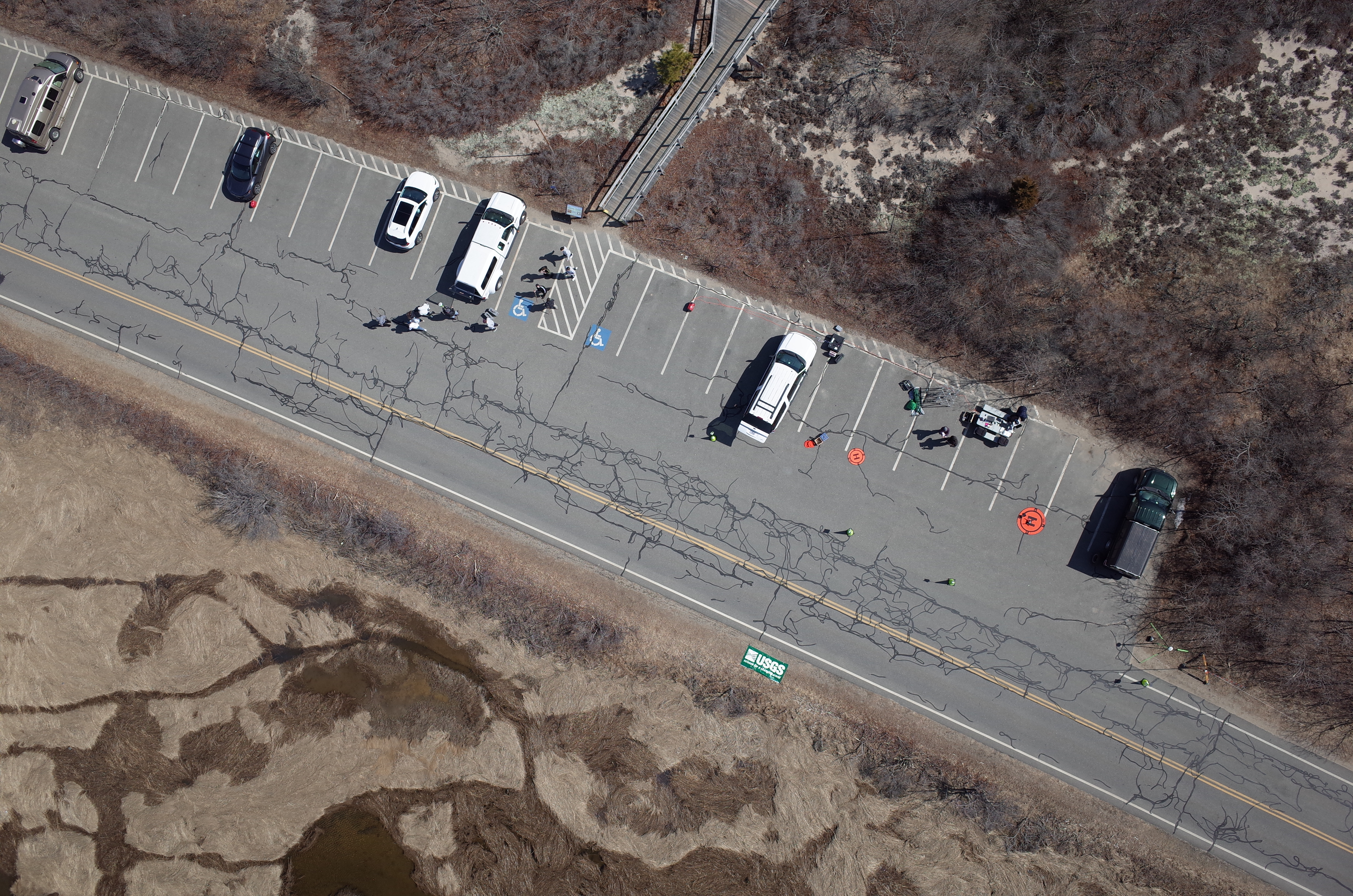
- Image Description: https://cmgds.marine.usgs.gov/fan_info.php?fan=2019-009-FA; Low-altitude aerial photograph of Plum Island, Massachusetts, from USGS field activity 2019-009-FA
- Attribution URL: https://doi.org/10.5066/P9PP35F4
- GPS Latitude: 42.772581
- GPS Latitude Reference: N
- GPS Longitude: -70.8059564999778
- GPS Longitude Reference: W
- GPS Time Stamp (UTC): 15:24:13
- GPS Date Stamp: 2019-03-28
- GPS Area Information: position derived from UAS GPS
- GPS Map Datum: EPSG:7660 (WGS 84 [G1150])
- Date/Time Original: 2019-03-28 11:24:13
- Date/Time Modified: 2019-03-28 11:24:13
- Artist: Woods Hole Coastal and Marine Science Center (WHCMSC) Aerial Imaging and Mapping (AIM) Group
- Preserved Filename: 2019009FA_r01f01_20190328T152413Z_P0045887.JPG
- External Metadata Link: https://www1.usgs.gov/pir/api/identifiers/USGS:62a69b9ed34ec53d2770c283
- Camera Make: RICOH IMAGING COMPANY, LTD.
- Camera Model: GR II