Imagery Data System

The image displayed on this page is a thumbnail, please use the download function to obtain the full-resolution image.

Filename: 2022030FA_f12r03_20221012T160735Z_R0065733.JPG

This image is part of the data release: Topographic and multispectral reflectance products, aerial imagery, spectral reflectance profiles, vegetation surveys, and associated GPS data collected during uncrewed aircraft system (UAS) operations: Assateague Island National Seashore, Maryland, October 10-14, 2022

Image data:
  • Keywords:
    • Aerial photography
    • Barrier beach
    • Vegetation
    • Assateague island national seashore
  • Collection: 2022_ASIS_ricoh
  • Field activity number: 2022-030-FA: More images from FAN | CMGDS details
  • Topic: Geology
  • Purpose: Field activity
  • Class: Uncrewed Aircraft System, Structure-from-Motion
  • Subject: barrier beach vegetation
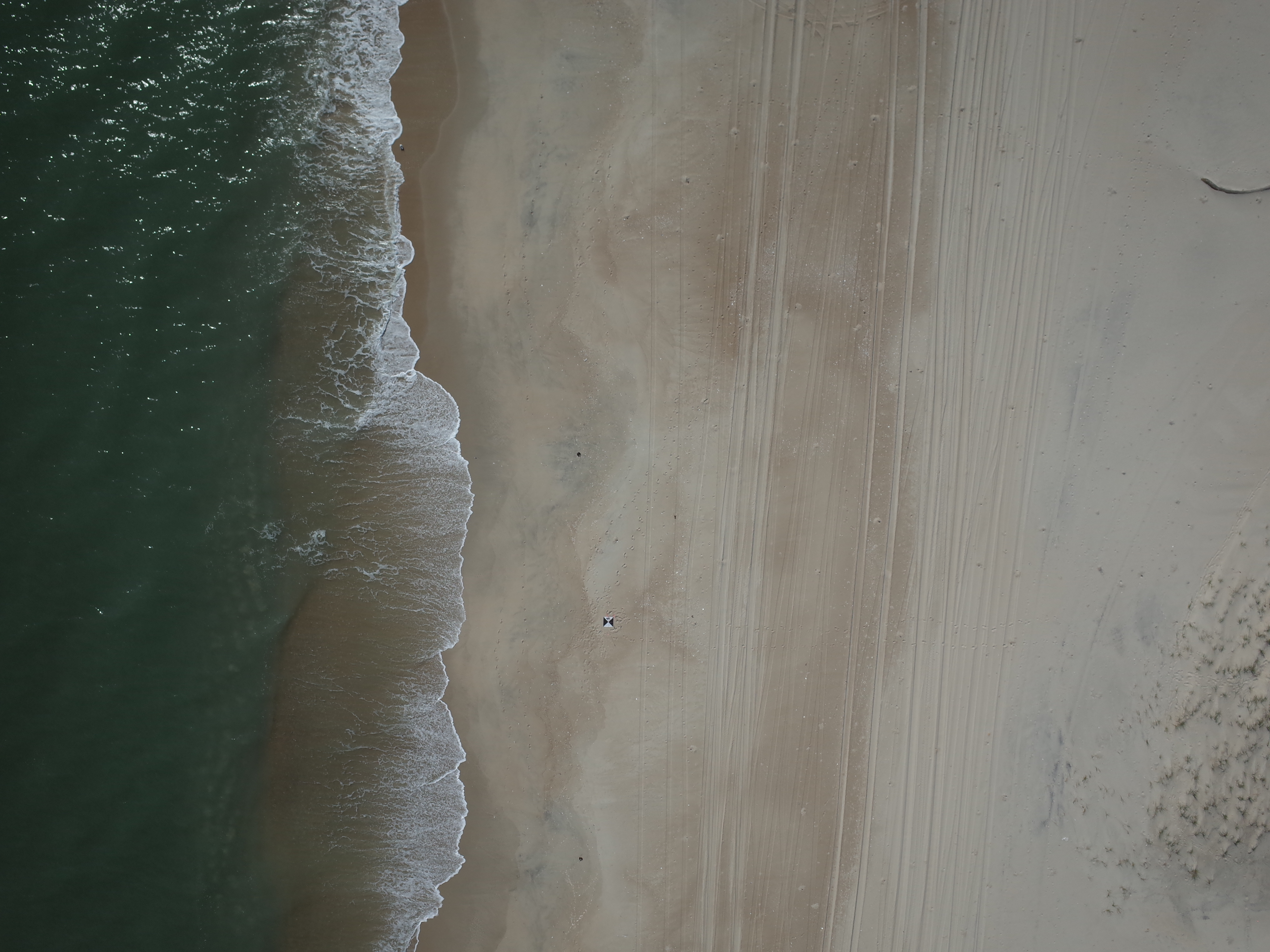
  • Semantic Location: Assateague Island National Seashore
  • People: No people visible in image
  • FAN: Woods Hole Coastal and Marine Science Center
  • Public: True
  • File Size: 5511838 bytes
  • Uploaded By: sackerman
  • Uploaded At: June 6, 2023, 10:39 p.m. (UTC)
Imagery header data:
  • Credit: U.S. Geological Survey
  • Contact: WHSC_data_contact@usgs.gov
  • Copyright: Public Domain
  • Image Description: https://cmgds.marine.usgs.gov/fan_info.php?fan=2022-030-FA; Low-altitude aerial photograph of Assateague Island National Seashore, Berlin, Maryland, taken with a Ricoh GRII camera during USGS field activity 2022-030-FA
  • Attribution URL: https://doi.org/10.5066/P916LRZN
  • GPS Latitude: 38.25865
  • GPS Latitude Reference: N
  • GPS Longitude: -75.12611
  • GPS Longitude Reference: W
  • GPS Time Stamp (UTC): 16:07:35
  • GPS Date Stamp: 2022-10-12
  • GPS Area Information: position post-processed from UAV GPS
  • Date/Time Original: 2022-10-12 12:07:19
  • Date/Time Modified: 2022-10-12 12:07:19
  • Artist: WHCMSC AIM Group
  • Preserved Filename: 2022030FA_f12r03_20221012T160735Z_R0065733.JPG
  • External Metadata Link: https://www1.usgs.gov/pir/api/identifiers/USGS:643ff9fbd34ee8d4ade6ced0
  • Camera Make: RICOH IMAGING COMPANY, LTD.
  • Camera Model: GR II