The image displayed on this page is a thumbnail, please use the download function to obtain the full-resolution image.
Filename: 1513630800.Mon.Dec.18_21_00_00.GMT.2017.madbeach.c1.dark.jpg
This image is part of the data release:
USGS Madeira Beach, Florida CoastCam Imagery and Calibration Data
Image data:
- Keywords:
- Usgs:c9505061-c301-4d19-bb9e-4810fd2f99eb
- Collection:
Dark
- Field activity number:
2016-363-DD:
More images from FAN |
CMGDS details
- Topic: Mapping, Remote Sensing, and Geospatial Data
- Purpose: Field activity
- Class: Time Series
- Subject: Coastal landforms
- Semantic Location: Madeira Beach, FL
- Science Center: St. Petersburg Coastal and Marine Science Center
- File Size: 398277 bytes
Imagery header data:
- Credit: U.S. Geological Survey
- Contact: gs-g-spcmsc_data_inquiries@usgs.gov
- Copyright: Public Domain
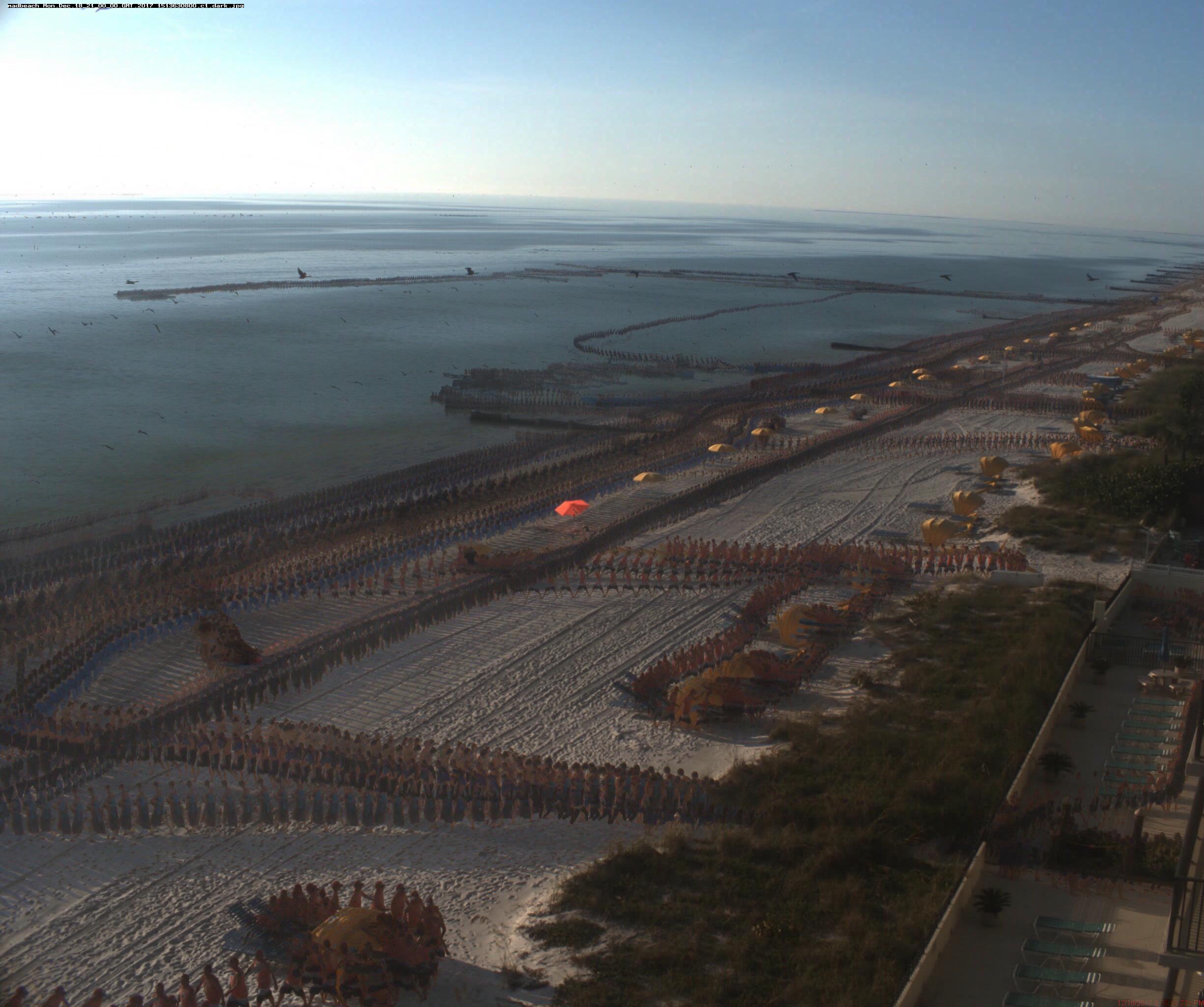
- Image Description: This image was captured from a stationary mounted camera at Madeira Beach, Florida. Field Activity Number: 2016-363-DD (https://cmgds.marine.usgs.gov/fan_info.php?fan=2016-363-DD)
- Attribution URL: https://doi.org/10.5066/P9SGRTF1
- GPS Latitude: 27.7962
- GPS Latitude Reference: N
- GPS Longitude: -82.7961
- GPS Longitude Reference: W
- GPS Date Stamp: 2017-09-19
- Missing: GPS Area Information
- GPS Map Datum: EPSG:6318 (NAD83_National_Spatial_Reference_System_2011)
- Date/Time Original: 2017-12-18 21:00:00
- Artist: USGS SPCMSC
- Preserved Filename: 1513630800.Mon.Dec.18_21_00_00.GMT.2017.madbeach.c1.dark.jpg
- External Metadata Link: https://www1.usgs.gov/pir/api/identifiers/USGS:c9505061-c301-4d19-bb9e-4810fd2f99eb
- Camera Make: Allied Vision Technology
- Camera Model: Prosilica GT3400