The image displayed on this page is a thumbnail, please use the download function to obtain the full-resolution image.
Filename: 2022-034-FA_NCB_PhotoRefID_2_sand.jpg
This image is part of the data release:
Topographic, bathymetric, multispectral, vegetation, sediment, and supporting GPS data collected on North Core Banks, Cape Lookout National Seashore, North Carolina in October 2022, U.S. Geological Survey Field Activity 2022-034-FA
Image data:
- Keywords:
- Global positioning system (gps) observations
- Physical habitats and geomorphology
- Collection:
2022 NCB Quadrat Photos
- Field activity number:
2022-034-FA:
More images from FAN |
CMGDS details
- Topic: Biology and Ecosystems, Land Resources, Mapping, Remote Sensing, and Geospatial Data
- Purpose: Field activity
- Class: Operations
- Subject: landcover
- Semantic Location: North Core Banks
- Science Center: St. Petersburg Coastal and Marine Science Center, Woods Hole Coastal and Marine Science Center
- File Size: 4887589 bytes
Imagery header data:
- Credit: U.S. Geological Survey
- Contact: WHSC_data_contact@usgs.gov
- Copyright: Public Domain
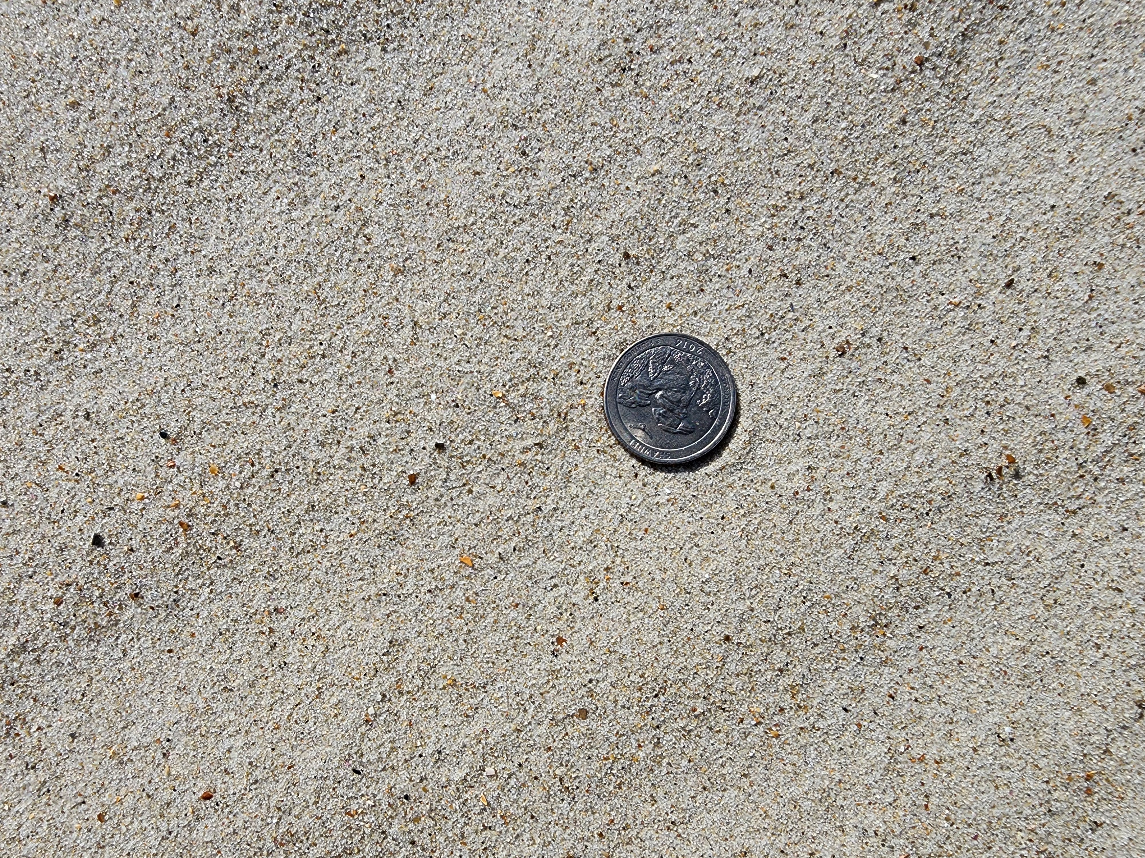
- Image Description: Photographs collected via cell phone at quadrat locations surveyed in the field. Multiple photographs per quadrat were taken to provide landscape context of each quadrat, a top-down view of each quadrat, a detailed view of sand within each quadrat with a quarter for scale (if applicable), a view of the survey logger at each quadrat to help tie the survey ID to the cell phone photographs collected, and a record of the vegetation height measured in the field at each quadrat (if applicable). Please note that files 'PhotoRefID_129_logger' and 'PhotoRefID_129_topdown' have erraneous GPS tags, but were kept in the photograph collection to provide a more complete photograph record of the quadrats. Photographs were taken at North Core Banks, North Carolina, from USGS field activity 2022-034-FA
- Attribution URL: https://doi.org/10.5066/P99IV3FC
- GPS Latitude: 34.9004794
- GPS Latitude Reference: N
- GPS Longitude: -76.2540094997222
- GPS Longitude Reference: W
- GPS Time Stamp (UTC): 15:08:16
- GPS Date Stamp: 2022-10-17
- GPS Area Information: position tagged from cell phone GPS
- GPS Map Datum: EPSG:4326 (WGS 84)
- Date/Time Original: 2022-10-17 15:08:16
- Date/Time Modified: 2022-10-17 15:08:16
- Artist: WHCMSC AIMG
- Preserved Filename: 2022-034-FA_NCB_PhotoRefID_2_sand.jpg
- External Metadata Link: https://www.sciencebase.gov/catalog/file/get/63af01edd34e92aad3ca5ece?name=2022034FA_NCB_Landcover_GPS_meta.xml&allowOpen=true
- Camera Make: samsung
- Camera Model: SM-S908U