The image displayed on this page is a thumbnail, please use the download function to obtain the full-resolution image.
Filename: 2022-030-FA_ASIS_refID_147_context.jpg
This image is part of the data release:
Topographic and multispectral reflectance products, aerial imagery, spectral reflectance profiles, vegetation surveys, and associated GPS data collected during uncrewed aircraft system (UAS) operations: Assateague Island National Seashore, Maryland, October 10-14, 2022
Image data:
- Keywords:
- Assateague island national seashore
- Collection:
2022_ASIS_spec
- Field activity number:
2022-030-FA:
More images from FAN |
CMGDS details
- Topic: Geology, Mapping, Remote Sensing, and Geospatial Data
- Purpose: Field activity
- Class: Other
- Subject: beach vegetation
- Semantic Location: Assateague Island National Seashore
- Science Center: Woods Hole Coastal and Marine Science Center
- File Size: 5531467 bytes
Imagery header data:
- Credit: U.S. Geological Survey
- Contact: WHSC_data_contact@usgs.gov
- Copyright: Public Domain
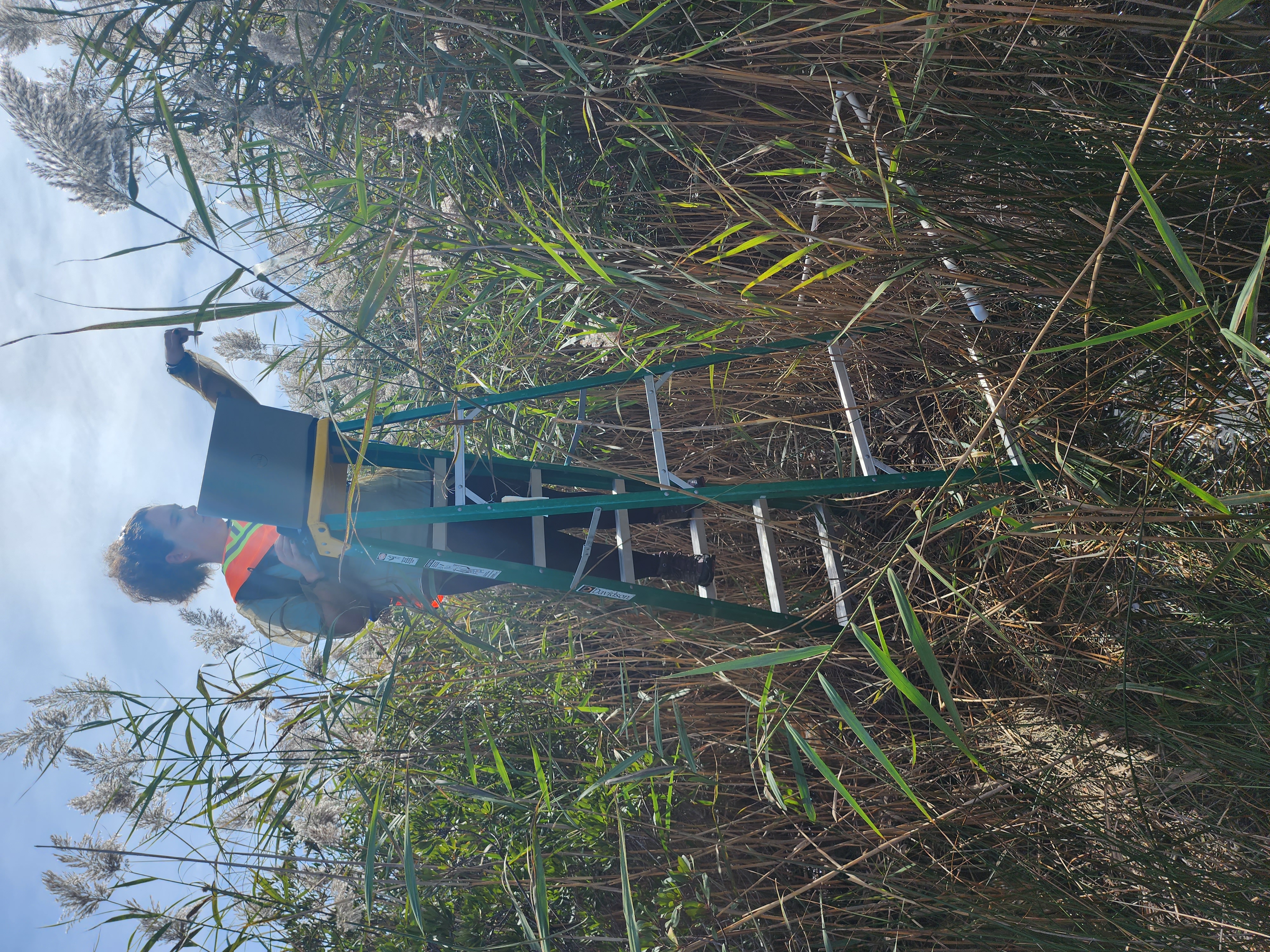
- Image Description: https://cmgds.marine.usgs.gov/fan_info.php?fan=2022-030-FA; Photographs collected to provide additional ground reference data for context where spectral profile data were collected at Assateague Island National Seashore, Berlin, Maryland, during USGS field activity 2022-030-FA.
- Attribution URL: https://doi.org/10.5066/P916LRZN
- GPS Latitude: 38.2584070997222
- GPS Latitude Reference: N
- GPS Longitude: -75.1290226997222
- GPS Longitude Reference: W
- GPS Area Information: position tagged from cell phone GPS
- GPS Map Datum: EPSG:4326 (WGS 84)
- Date/Time Original: 2022-10-12 12:56:06
- Date/Time Modified: 2022-10-12 12:56:06
- PID (Image Unique ID): L40XLOD00NM
- Artist: WHCMSC AIM Group
- Preserved Filename: 2022-030-FA_ASIS_refID_147_context.jpg
- External Metadata Link: https://www1.usgs.gov/pir/api/identifiers/USGS:6440027ed34ee8d4ade6cefc
- Camera Make: samsung
- Camera Model: SM-S908U