The image displayed on this page is a thumbnail, please use the download function to obtain the full-resolution image.
Filename: 2022-030-FA_ASIS_refID_119_vegheight.jpg
This image is part of the data release:
Topographic and multispectral reflectance products, aerial imagery, spectral reflectance profiles, vegetation surveys, and associated GPS data collected during uncrewed aircraft system (UAS) operations: Assateague Island National Seashore, Maryland, October 10-14, 2022
Image data:
- Keywords:
- Assateague island national seashore
- Collection:
2022_ASIS_quadrat
- Field activity number:
2022-030-FA:
More images from FAN |
CMGDS details
- Topic: Geology, Mapping, Remote Sensing, and Geospatial Data
- Purpose: Field activity
- Class: Other
- Subject: beach vegetation quadrat
- Semantic Location: Assateague Island National Seashore
- Science Center: Woods Hole Coastal and Marine Science Center
- File Size: 3416096 bytes
Imagery header data:
- Credit: U.S. Geological Survey
- Contact: WHSC_data_contact@usgs.gov
- Copyright: Public Domain
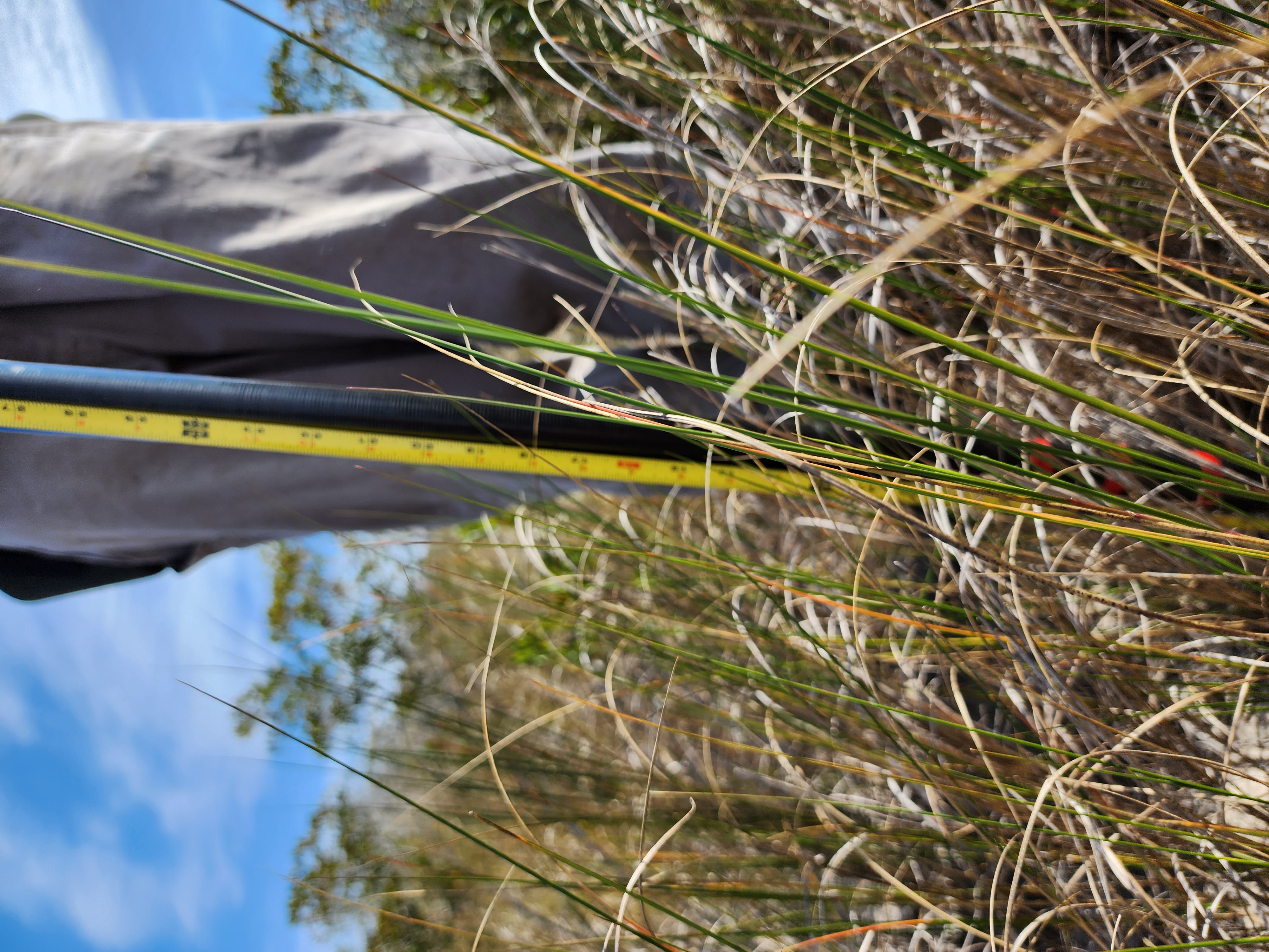
- Image Description: https://cmgds.marine.usgs.gov/fan_info.php?fan=2022-030-FA; Photographs collected via cell phone at quadrat locations surveyed in the field. Multiple photographs per quadrat were taken to provide landscape context, top-down view of each quadrat, screen of the survey logger, and vegetation height or water depth measurement, if applicable). Photographs were taken at Assateague Island National Seashore, Berlin, Maryland, during USGS field activity 2022-030-FA
- Attribution URL: https://doi.org/10.5066/P916LRZN
- GPS Latitude: 38.3100978
- GPS Latitude Reference: N
- GPS Longitude: -75.1062890997222
- GPS Longitude Reference: W
- GPS Area Information: position tagged from cell phone GPS
- GPS Map Datum: EPSG:4326 (WGS 84)
- Date/Time Original: 2022-10-14 13:29:10
- Date/Time Modified: 2022-10-14 13:29:10
- PID (Image Unique ID): L40XLOD00NM
- Artist: WHCMSC AIM Group
- Preserved Filename: 2022-030-FA_ASIS_refID_119_vegheight.jpg
- External Metadata Link: https://www1.usgs.gov/pir/api/identifiers/USGS:64400237d34ee8d4ade6cefa
- Camera Make: samsung
- Camera Model: SM-S908U