Imagery Data System
Disclaimer: this website is preliminary and under development
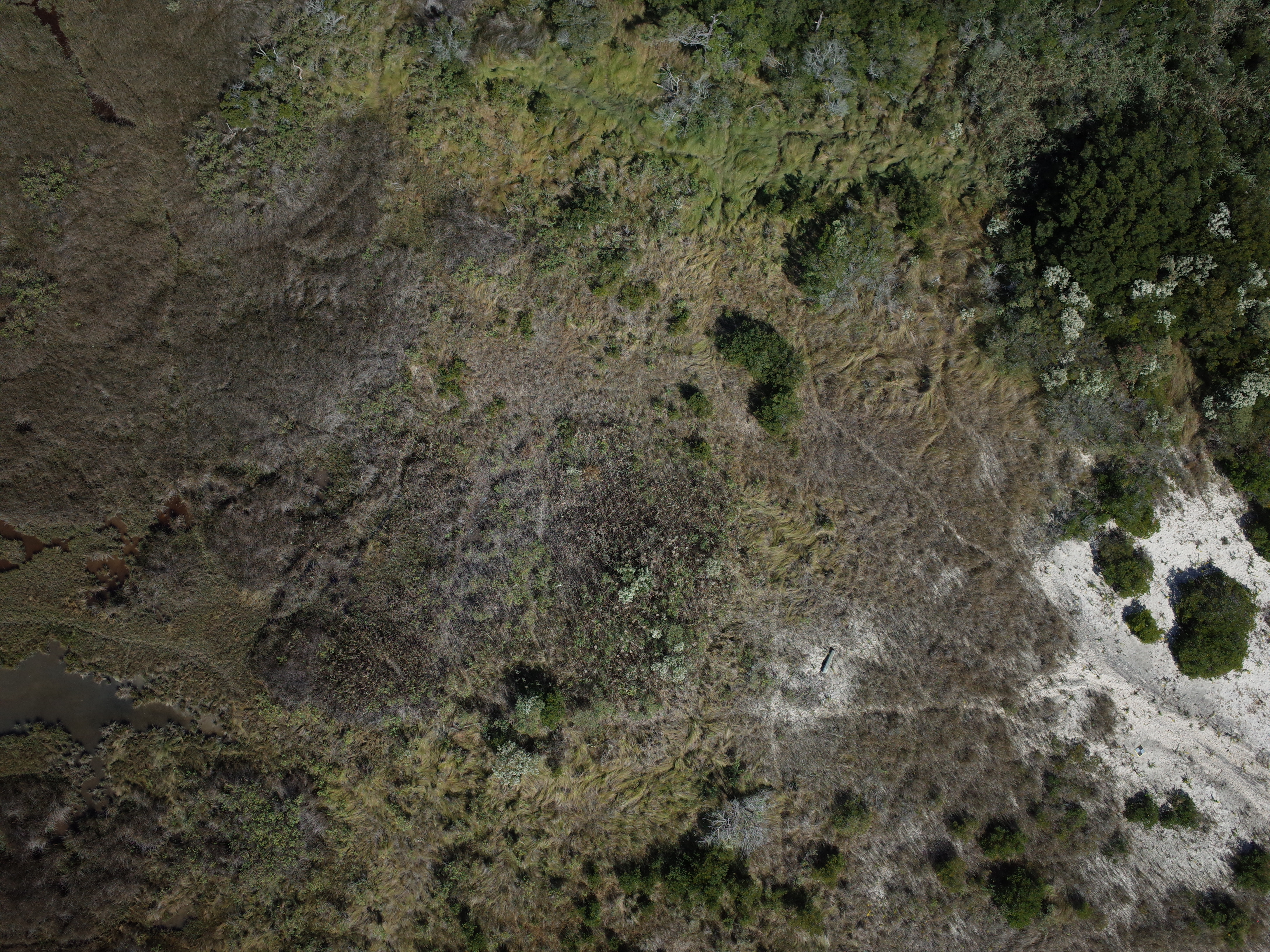
Filename: 2022030FA_f01r03_20221010T163423Z_R0059263.JPG
Image data:
- Keywords:
- Assateague island national seashore
- Collection:
- FAN:
2022-030-FA:
More images from FAN |
CMGDS details
- Topic: Geology, Mapping, Remote Sensing, and Geospatial Data
- Purpose: Field activity
- Type: Uncrewed Aircraft System, Structure-from-Motion
- Subject: barrier beach vegetation
- Semantic Location: Assateague Island National Seashore
- People:
No people visible in image
- FAN: Woods Hole Coastal and Marine Science Center
- Public: True
- File Size: 5905046 bytes
- Uploaded By: sackerman
- Uploaded At: May 17, 2023, 2:55 p.m. (UTC)
Exif tags:
- Credit: U.S. Geological Survey
- Contact: WHSC_data_contact@usgs.gov
- Copyright: Public Domain
- Image Description: https://cmgds.marine.usgs.gov/fan_info.php?fan=2022-030-FA; Low-altitude aerial photograph of Assateague Island National Seashore, Berlin, Maryland, taken with a Ricoh GRII camera during USGS field activity 2022-030-FA
- Attribution URL: https://doi.org/10.5066/P916LRZN
- GPS Latitude: 38.24315
- GPS Latitude Reference: N
- GPS Longitude: -75.13633
- GPS Longitude Reference: W
- GPS Time Stamp (UTC): 16:34:23
- GPS Date Stamp: 2022-10-10
- GPS Area Information: position post-processed from UAV GPS
- Date/Time Original: 2022-10-10 12:34:07
- Date/Time Modified: 2022-10-10 12:34:07
- Artist: WHCMSC AIM Group
- Preserved Filename: 2022030FA_f01r03_20221010T163423Z_R0059263.JPG
- External Metadata Link: https://www1.usgs.gov/pir/api/identifiers/USGS:643ff9fbd34ee8d4ade6ced0
- Camera Make: RICOH IMAGING COMPANY, LTD.
- Camera Model: GR II