The image displayed on this page is a thumbnail, please use the download function to obtain the full-resolution image.
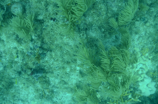
Filename: 20220711_SL_IC_U3_001516.tif
This image is part of the data release:
Diver-Based Structure-from-Motion Imagery From Coral Reef Restoration Surveys in the Lower Florida Keys: July 2022 and July 2023
Image data:
- Keywords:
- Usgs:0cb09b6b-7c38-4c6f-a1dc-afc4033ab4be
- Collection:
Summerland Ledges
- Field activity number:
2022-353-DD:
More images from FAN |
CMGDS details
- Topic: Biology and Ecosystems, Geology, Natural Hazards
- Purpose: Field activity
- Class: Seafloor, Structure-from-Motion
- Subject: coral reefs
- Semantic Location: Lower Florida Keys
- Science Center: St. Petersburg Coastal and Marine Science Center
- File Size: 20697306 bytes
Imagery header data:
- Credit: U.S. Geological Survey, Mote Marine Laboratory
- Contact: gs-g-spcmsc_data_inquiries@usgs.gov
- Copyright: Public Domain
- Image Description: https://cmgds.marine.usgs.gov/fan_info.php?fan=2022-353-DD; Mote Marine Laboratory donated diver-based Structure-from-Motion image data from USGS field activity 2022-353-DD
- Attribution URL: https://doi.org/10.5066/P1WHKTRD
- GPS Latitude: 24.54047
- GPS Latitude Reference: N
- GPS Longitude: -81.44465
- GPS Longitude Reference: W
- GPS Area Information: station coordinates obtained from handheld GPS; individual images are not georeferenced
- GPS Map Datum: EPSG:4326 (WGS 84)
- Date/Time Original: 2022-07-11 08:55:34
- Date/Time Modified: 2023-02-27 10:56:44
- Artist: Mote Marine Laboratory, USGS St. Petersburg Coastal and Marine Science Center
- Preserved Filename: 20220711_SL_IC_U3_001516.tif
- External Metadata Link: https://www1.usgs.gov/pir/api/identifiers/USGS:0cb09b6b-7c38-4c6f-a1dc-afc4033ab4be
- Camera Make: NIKON CORPORATION
- Camera Model: NIKON D7000