The image displayed on this page is a thumbnail, please use the download function to obtain the full-resolution image.
Filename: 2024-022-FA_FIIS_20240916_landscape_1049.jpg
This image is part of the data release:
Ground reference geospatial data collected on Fire Island National Seashore, NY, USA in September 2024
Image data:
- Keywords:
- Collection:
2024_FIIS_landscape
- Field activity number:
2024-022-FA:
More images from FAN |
CMGDS details
- Topic: Geology, Mapping, Remote Sensing, and Geospatial Data
- Purpose: Field activity
- Class: Operations
- Subject: barrier island
- Semantic Location: Fire Island, NY
- Science Center: Woods Hole Coastal and Marine Science Center
- File Size: 9162014 bytes
Imagery header data:
- Credit: U.S. Geological Survey
- Contact: WHSC_data_contact@usgs.gov
- Copyright: Public Domain
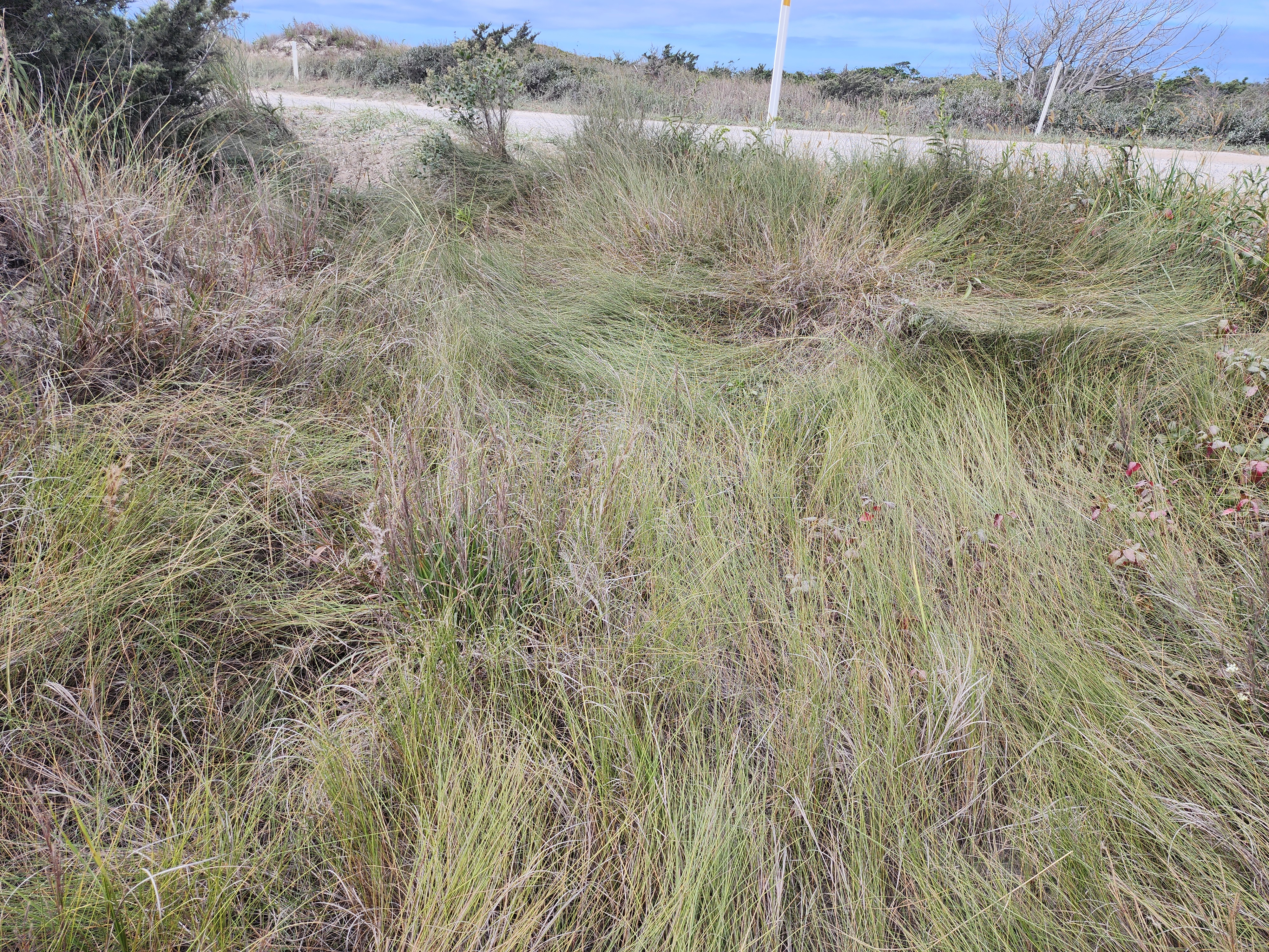
- Image Description: https://cmgds.marine.usgs.gov/fan_info.php?fan=2024-022-FA; Cell phone photograph of the Fire Island National Seashore landscape, NY, USA from USGS field activity 2024-022-FA
- Attribution URL: https://doi.org/10.5066/P13TU8KT
- GPS Latitude: 40.6306364
- GPS Latitude Reference: N
- GPS Longitude: -73.2201132
- GPS Longitude Reference: W
- GPS Area Information: position from integrated cell phone GPS
- GPS Map Datum: EPSG:4326 (WGS 84)
- Date/Time Original: 2024-09-19 12:22:51
- Date/Time Modified: 2024-09-19 12:22:51
- PID (Image Unique ID): L40XLOD00NM
- Preserved Filename: 2024-022-FA_FIIS_20240916_landscape_1049.jpg
- External Metadata Link: https://data.usgs.gov/datacatalog/metadata/USGS.67927873d34e88f5864c49b0.xml
- Camera Make: samsung
- Camera Model: SM-S908U