The image displayed on this page is a thumbnail, please use the download function to obtain the full-resolution image.
Filename: 2024006FA_f13XT2c_20240316T184044Z_DJI_0578.jpg
This image is part of the data release:
Topographic data, aerial imagery, and GPS data collected during uncrewed aircraft system (UAS) operations at Lower Darby Creek, Darby Township, Pennsylvania, March to August 2024
Image data:
- Keywords:
- Collection:
2024Mar_Darby_XT2
- Field activity number:
2024-006-FA:
More images from FAN |
CMGDS details
- Topic: Geology, Mapping, Remote Sensing, and Geospatial Data
- Purpose: Field activity
- Class: Uncrewed Aircraft System, Structure-from-Motion
- Subject: marsh and landfill
- Semantic Location: Darby Township, PA
- Science Center: Woods Hole Coastal and Marine Science Center
- File Size: 3217625 bytes
Imagery header data:
- Credit: U.S. Geological Survey
- Contact: WHSC_data_contact@usgs.gov
- Copyright: Public Domain
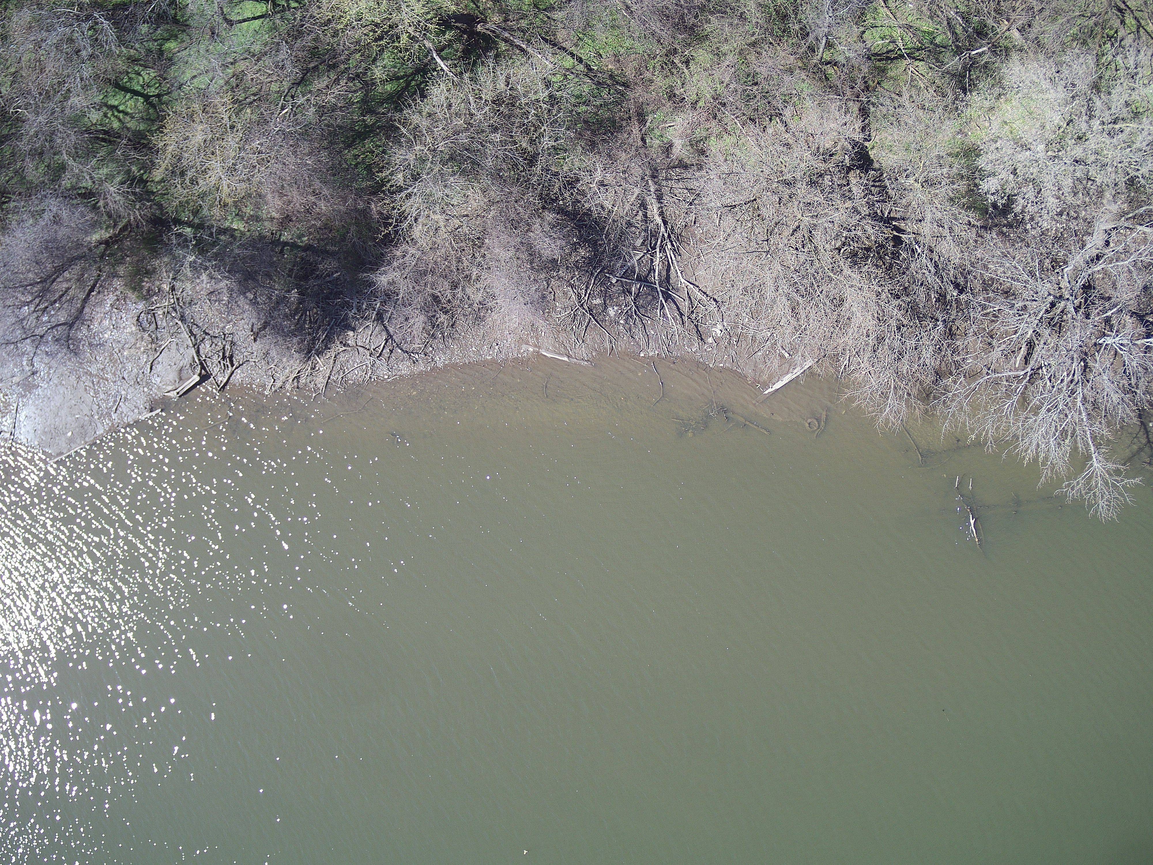
- Image Description: https://cmgds.marine.usgs.gov/fan_info.php?fan=2024-006-FA; Low-altitude aerial true-color photograph of the Lower Darby Creek Superfund Site and John Heinz National Wildlife Refuge, Darby Township, Pennsylvania, taken with a DJI Zenmuse XT2 camera during USGS field activity 2024-006-FA
- Attribution URL: https://doi.org/10.5066/P134HU3Y
- GPS Latitude: 39.8787536622222
- GPS Latitude Reference: N
- GPS Longitude: -75.2923202515556
- GPS Longitude Reference: W
- GPS Time Stamp (UTC): 14:40:44
- GPS Date Stamp: 2024-03-16
- GPS Area Information: camera-integrated GPS
- GPS Map Datum: EPSG::4326 (WGS84)
- Date/Time Original: 2024-03-16 14:40:44
- Date/Time Modified: 2024-03-16 14:40:44
- Artist: WHCMSC AIM Group
- Preserved Filename: 2024006FA_f13XT2c_20240316T184044Z_DJI_0578.jpg
- External Metadata Link: https://www1.usgs.gov/identifiers/api/resolve/USGS:676446dcd34e5335adadf37a
- Camera Make: DJI
- Camera Model: XT2