|
|
|
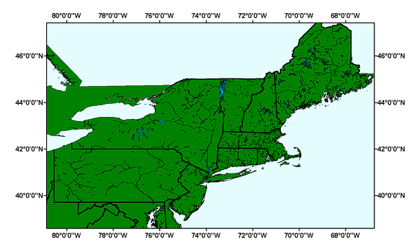
MJWATER: Major Water of the Long Island Sound GIS project area |
Metadata also available as: FAQ | TEXT
Largest scale when displaying the data: 1:100,000.
The redistribution rights for this data set: Redistribution rights are granted by the data vendor for hard-copy renditions or static, electronic map images (e.g. .gif, .jpeg, etc.) that are plotted, printed, or publicly displayed with proper metadata and source/copyright attribution to the respective data vendor(s). Geodata is redistributable with a Value-Added Software Application developed by ESRI Business Partners on a royalty-free basis with proper metadata and source/copyright attribution to the respective data vendor(s).
Outside the United States: Please direct all inquiries regarding software/data pricing, sales, support, and consulting services to your local ESRI International Distributor. This information can be found at <http://gis.esri.com/intldist/contactint.cfm>.
For other questions or comments, you may contact ESRI headquarters by e-mail, telephone, or fax or write to us.
The positional accuracy of the TIGER/Line coordinates varies with the source materials used but at best meets the established National Map Accuracy standards (+/- 167 feet approximately) where 1:100,000-scale maps from the USGS are the source. The Census Bureau cannot specify the accuracy of feature updates added by its field staff or of features derived from the GBF/DIME-Files or other map sources. Thus, the level of positional accuracy in the TIGER/Line files is not suitable for high-precision measurement applications such as engineering problems, property transfers, or other uses that might require highly accurate measurements of the earth's surface.