|
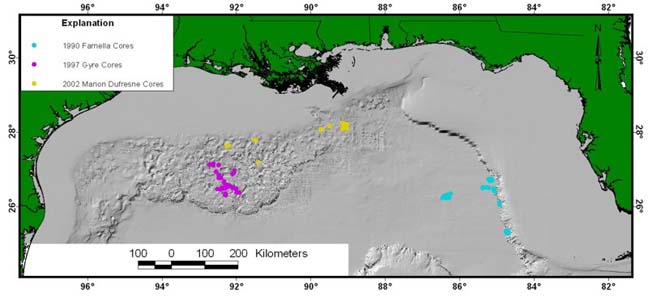
Figure 7. Map showing the locations of cores collected by the USGS during
three cruises in the Gulf of Mexico. The "Core" directory
of the GIS contains shapefiles for the three cruises as well as core logs,
visual descriptions, and some other geologic and geotechnical measurements.
|
