| Identifier | 00LTS04 | ||||||||
|---|---|---|---|---|---|---|---|---|---|
| Purpose | to collect lidar data | ||||||||
| Location | East Coast US | ||||||||
| Summary | Lidar data was collected during Fall 2000 and covers coastlines of the states of Maryland, New Jersey, New York, Connecticut, Rhode Island, Massachusetts, New Hampshire, and Maine. | ||||||||
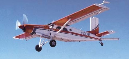
| Platform |
|
||||||||
| Itinerary |
|
||||||||
| Bounds |
|
| Principal investigators | Brock, John | ||
|---|---|---|---|
| Crew members | |||
| Information specialist(s) |
|
| Data category: | Location-Elevation |
|---|---|
| Data type: | LIDAR |
| Equipment | Usage description | Data types | Datasets |
|---|---|---|---|
| Airborne Topographic Mapper 2 (ATM2) | LIDAR | 3 |
| Dataset name | Equipment | Description | Dataset contact |
|---|---|---|---|
| 00LTS04_morphology.zip | Airborne Topographic Mapper 2 (ATM2) | Dune crest, dune toe, shoreline, beach width and beach slope for a lidar survey collected 20000920-20001102 in Virginia, Maryland, Delaware, New Jersey and New York | Kara S Doran |
| Dataset name | Equipment | Description | Dataset contact |
|---|---|---|---|
| MA_Raw_slopes | Airborne Topographic Mapper 2 (ATM2) | Raw, non-interpolated endpoint slope data between the location of the Mean High Water and seaward-most dune toe elevations | Kara S Doran |
| MA_Mean_slopes | Airborne Topographic Mapper 2 (ATM2) | Mean slope data between the endpoint locations of the Mean High Water and seaward-most dune toe elevations, interpolated to a 200 m alongshore resolution using a 400 m wide Hanning window | Kara S Doran |