Characterize the surface and groundwater hydrology in the coastal Everglades
Location
Everglades National Park, FL
Summary
Data collection of static GPS base station sessions for network control within the hydrologic network of 16 sites along several drainages in the coastal Everglades.
Info derived
High precision (mm accuracy) horizontal and vertical positions for selected sites.
Comments
Dave Wegener provided shop time and fabrication of four brackets essential to this survey. Additional equipment: 4 fabricated antenna brackets for use on hydro station housings, Chevy Silverado (GSA lease).
Platform
19-ft SeaCraft
25-ft Parker
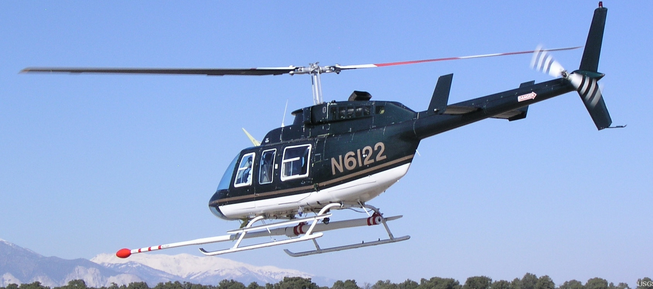
Helicopter (SP)
Itinerary
Start
Various, all within Everglades NP
2007-09-10
End
Various, all within Everglades NP
2007-09-15
Bounds
West
-82.4766
East
-79.80690333
North
26.19816275
South
25.01443861
Marine operations
Yes
Personnel
Organization
U.S. National Park Service
Organization
U.S. Army Corps of Engineers, Jacksonville District(USACE)