| Identifier |
11ERM01 |
| Purpose |
To obtain water levels at benchmarks throughout Everglades National Park for groundtruthing local water gages. |
| Location |
Everglades National Park, FL |
| Info derived |
Surface water levels, lat/long coordinates |
| Platform |
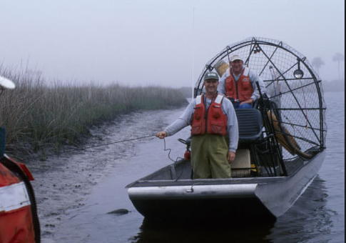
| Airboat Per OPS Manager, platform was transferred to the Gainesville office around 2016.
|
 |
| Helicopter (SP) |
 |
|
| Itinerary |
| Start |
Tavernier, FL |
2011-09-15 |
| End |
Homestead, FL |
2011-09-16 |
|
| Bounds |
| West |
-81.3695 |
| East |
-80.60732655 |
| North |
25.7689429 |
| South |
25.08305154 |
|
| Topic |
30 |