| Identifier | 13CCH06 | ||||||||
|---|---|---|---|---|---|---|---|---|---|
| Purpose | Support ACE:FRF LARC-5 Inlet Survey. Collect Beach GPS Profiles | ||||||||
| Location | Fire Island, NY | ||||||||
| Info derived | Beach Elevation | ||||||||
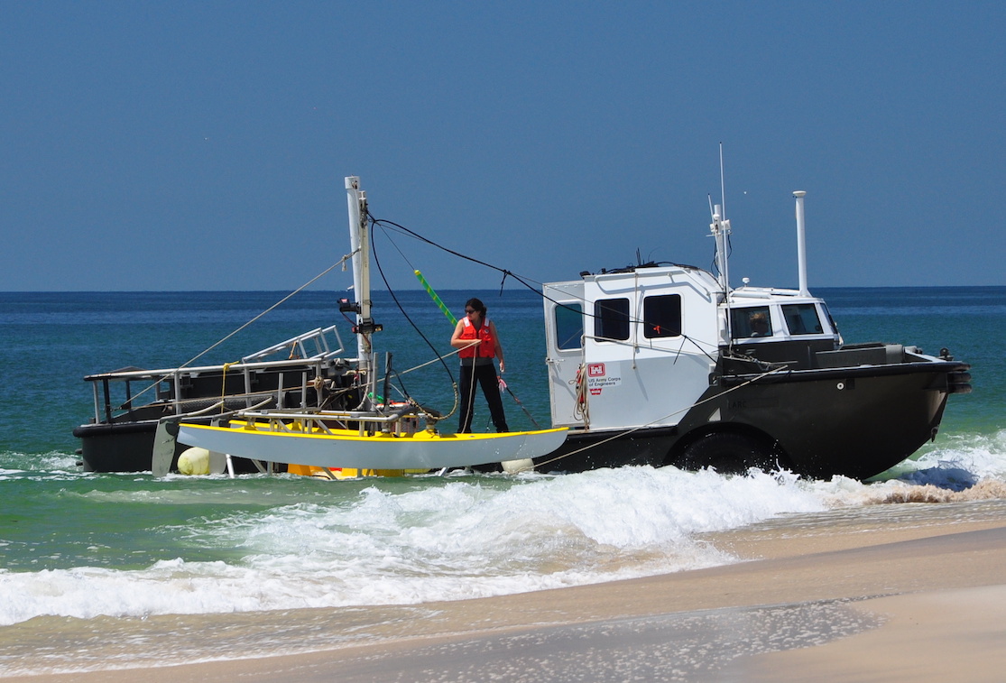
| Platform |
|
||||||||
| Vehicles | Rental Vehicle |
||||||||
| Itinerary |
|
||||||||
| Bounds |
|
||||||||
| Topic | 13 | ||||||||
| Marine operations | Yes |
| Organization |
600 Fourth Street South
St. Petersburg, FL33701-4846
(727) 502-8000
|
||
|---|---|---|---|
| Principal investigators | Cheryl J Hapke | ||
| Crew members |
|
||
| Information specialist(s) |
|
| Data category: | Location-Elevation |
|---|---|
| Data type: | Navigation |
| Equipment | Usage description | Data types | Datasets |
|---|---|---|---|
| Ashtech Z-Xtreme DGPS | Benchmarks, Navigation | 5 |
| Dataset name | Equipment | Description | Dataset contact |
|---|---|---|---|
| 13CCH06-NL-pd-1 | Ashtech Z-Xtreme DGPS | Fire Island, NY pre- and post- storm cross-shore profiles | Cheryl J Hapke |
| 13CCH06-NL-pd-2 | Ashtech Z-Xtreme DGPS | Fire Island, NY pre- and post-storm shoreline data | Cheryl J Hapke |
| Dataset name | Equipment | Description | Dataset contact |
|---|---|---|---|
| Profile_Data | Ashtech Z-Xtreme DGPS | Cross-shore profile data | Owen T Brenner |
| Shoreline_Data | Ashtech Z-Xtreme DGPS | MHW shoreline data | Owen T Brenner |
| Breach_Shorelines_Data | Ashtech Z-Xtreme DGPS | Breach shoreline data | Owen T Brenner |