| Identifier | 1969-009-FA | ||||||||
|---|---|---|---|---|---|---|---|---|---|
| Alternate names | 69-52 | ||||||||
| Location | Gloucester, Plymouth, Provincetown, Massachusetts Bay, Massachusetts, United States, North America, North Atlantic; | ||||||||
| Summary | Grab samples: 9; Other samples: 5; 3.5 kHz seismics: paper and film. | ||||||||
| Comments | Project = Continental Margin Program, Continental Margin Program | ||||||||
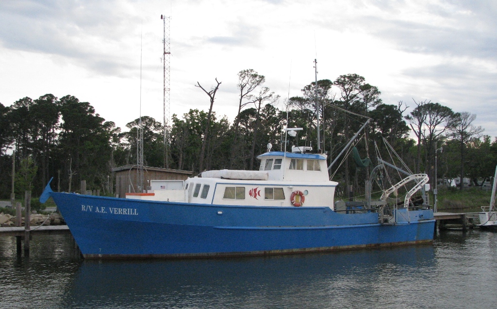
| Platform |
|
||||||||
| Itinerary |
|
||||||||
| Bounds |
|
| Organization |
384 Woods Hole Road
Quissett Campus
Woods Hole, MA02543-1598
(508) 548-8700
|
||
|---|---|---|---|
| Principal investigators | David Folger | ||
| Crew members |
|
||
| Affiliate staff | Joseph MacIlvaine - WHOI |
| Data category: | Environmental Data, Location-Elevation, Sampling, Seismics |
|---|---|
| Data type: | Current, Navigation, Biology, Geology, Sub Bottom Profiler |
| Equipment | Usage description | Data types | Datasets |
|---|---|---|---|
| Dietz-Lafond snapper | Biology, Geology | (no data reported) | |
| Seabed drifters | Current | (no data reported) | |
| Van Veen grab sampler | Geology | 1 | |
| Loran-A | Navigation | 1 | |
| Sextant | Navigation | (no data reported) | |
| Raytheon radar | Navigation | (no data reported) | |
| Visual navigation | Navigation | (no data reported) | |
| 3.5 kHz | Sub Bottom Profiler | 2 |
| Dataset name | Equipment | Description | Dataset contact |
|---|---|---|---|
| 1969-009-FA-SC-001 | Van Veen grab sampler | Grab samples | Brian Buczkowski |
| 1969-009-FA-LN-001 | Loran-A | Navigation trackline plot for field activity 69009 | Nancy K. Soderberg |
| 1969-009-FA-SE-001 | 3.5 kHz | Collection of paper record displays of seismic data( 3.5K) for lines | Nancy K. Soderberg |
| 1969-009-FA-SE-002 | 3.5 kHz | microfilm of *SMALL CAN | Nancy K. Soderberg |