| Identifier | 1979-017-FA | ||||||||
|---|---|---|---|---|---|---|---|---|---|
| Alternate names | Cruise II, Leg II; RP-4-SU-79B | ||||||||
| Purpose | Detect and locate earthquake activity in the northeast Gulf of Alaska (NEGOA). Obtain measurements of sea floor accelerations accompanying both strong and weak earthquakes. Demonstrate and evaluate the effectiveness of the USGS OBIPs when used in the seismic refraction mode. | ||||||||
| Location | Yakutat Bay, northeastern Gulf of Alaska, Alaska, United States, North America, North Pacific; | ||||||||
| Summary | OBIP deployments - 13; OBIP recoveries - 8; Seismic refraction - 3 lines, 165 km; Bathymetry/sub-bottom profiling - 580 km; XBT launches - 12; Shipek bottom samples - 8. | ||||||||
| Related activities |
1979-027-FA: Deployment-recovery |
||||||||
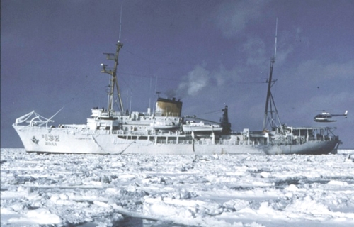
| Platform |
|
||||||||
| Itinerary |
|
||||||||
| Bounds |
|
| Organization |
384 Woods Hole Road
Quissett Campus
Woods Hole, MA02543-1598
(508) 548-8700
|
||||
|---|---|---|---|---|---|
| Principal investigators | Bruce Ambuter | ||||
| Crew members |
|
||||
| Affiliate staff | Dr. Mark Holmes, USGS-Seattle; Joe Edwards, USGS-Menlo Park |
| Data category: | Seismics, Location-Elevation |
|---|---|
| Data type: | Sub Bottom Profiler, Air Gun / Water Gun, Sonobuoy, Ocean Bottom Seismometer, Navigation |
| Name | Description |
|---|---|
| Cruise report | Chief Scientist's cruise report with a fairly extensive narrative of data acquisition. Includes personnel list, objectives, equipment descriptions, and summary of results. |
| Equipment | Usage description | Data types | Datasets |
|---|---|---|---|
| 3.5 kHz | Sub Bottom Profiler | 2 | |
| Air gun | Air Gun / Water Gun | (no data reported) | |
| Seismic refraction | Sonobuoy | (no data reported) | |
| Ocean Bottom Seismometer | Ocean Bottom Seismometer | (no data reported) | |
| Loran-C | Navigation | 2 |
| Dataset name | Equipment | Description | Dataset contact |
|---|---|---|---|
| 1979-017-FA-SE-001 | 3.5 kHz | Collection of paper record displays of seismic data( 3.5K) for lines | Nancy K. Soderberg |
| 1979-017-FA-SE-002 | 3.5 kHz | microfilm of | Nancy K. Soderberg |
| 1979-017-FA-LN-001 | Loran-C | Navigation trackline plot for field activity 79017 | Nancy K. Soderberg |
| 1979-017-FA-LN-001-01 | Loran-C | Scans of various trackmaps in .pdf and .tif formats. | Alice M. Orton |