| Identifier | 1989-039-FA | ||||||||
|---|---|---|---|---|---|---|---|---|---|
| Alternate names | BALK89-1 | ||||||||
| Purpose | Study the dynamics of the lake and rift zone. | ||||||||
| Location | Lake Baikal, Baikal Rift Zone, south central Siberia, Russia, Asia; | ||||||||
| Summary | All data were collected by the Russian Institute of Oceanology and the Russian Limnological Institute. USGS personnel assisted with data processing only. CDP seismic reflection data: 1442.40 km, 17 tracklines. See USGS OFR 92-243, Processing of Lake Baikal Marine Multichannel Seismic Reflection Data, for additional information. | ||||||||
| Comments | No WHSC personnel participated in data collection; USGS assisted with data processing only. Contact Debbie Hutchinson for additional information regarding data distribution policy. Submitted 12/16/08 by A. Orton for Debbie Hutchinson. Project = Seismic Survey of Lake Baikal, Siberia, Seismic Survey of Lake Baikal, Siberia | ||||||||
| URL | |||||||||
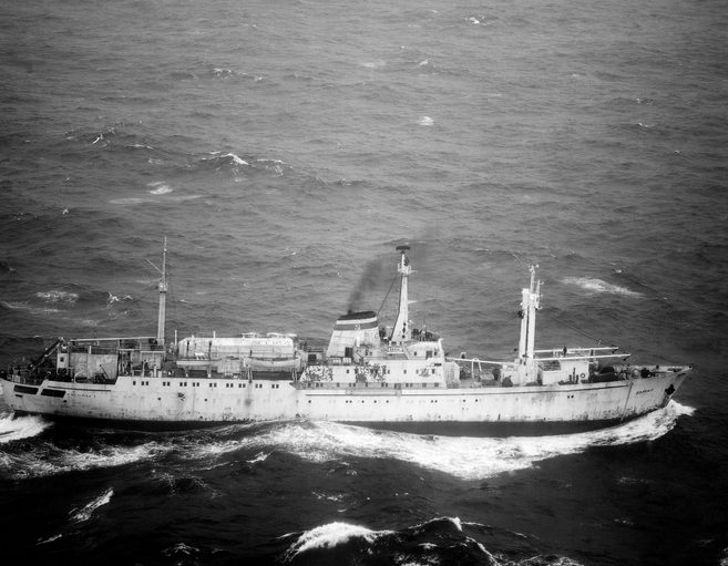
| Platform |
|
||||||||
| Itinerary |
|
||||||||
| Bounds |
|
| Organization |
384 Woods Hole Road
Quissett Campus
Woods Hole, MA02543-1598
(508) 548-8700
|
|---|---|
| Principal investigators | Deborah R Hutchinson |
| Crew members | |
| Affiliate principal | Alexander Golmshtok, Chief Scientist - Inst. of Oceanology, Gelendzhik, Russia |
| Affiliate staff | Russian Institute of Oceanology and Limnological Institute, Siberian Branch of the Russian Academy of Sciences |
| Data category: | Seismics, Location-Elevation |
|---|---|
| Data type: | Multichannel, Navigation |
| Equipment | Usage description | Data types | Datasets |
|---|---|---|---|
| Multichannel seismics | Multichannel | 4 | |
| Raytheon radar | Navigation | (no data reported) | |
| Dead reckoning | Navigation | 4 |
| Dataset name | Equipment | Description | Dataset contact |
|---|---|---|---|
| 1989-039-FA-SE-001 | Multichannel seismics | 17 multichannel seismic data lines collected by Russian scientists in Lake Baikal. | Deborah R Hutchinson |
| 1989-039-FA-SE-001-01 | Multichannel seismics | Processed multichannel seismic data from 17 tracklines in Lake Baikal. | Deborah R Hutchinson |
| 1989-039-FA-SE-001-02 | Multichannel seismics | Paper record section of Lines B1, B2, B3, B4, B5, B6, B7, B8, B9, B10, B11, B12, B13, B14, B15-1AB, B15-1C, B15-2, B15-3, B15-4, B15-5, B15-6, B16, B17, | Nancy K. Soderberg |
| 1989-039-FA-SE-001-03 | Multichannel seismics | CD ROM disk of L 1-1,-2; L 2-1, -2, L 3-1, -2 ; L 4-1,-2, L 5-1,-2; L 6-1, -2, L 7-1,-2,-3, L 7-4,-5,-6, L 8-1,-2,-3, L 8-4,-5,-6, L 9-1,-2,-3,-4, L 10 -1,-2,-3,-4-,5, L 11-1,-2,-3,-4, L 12-1,-2,-3,-4, L 13-1,-2; L 14-1,-2, L 15-1AB-1,-2,-3, L 15-1AB-4,-5,-6, L 15-1C-1,-2,-3, L 15-2-1,-2,-3, L 15-2,-4,-5,-6, L 15-2,-7,-8,-9, L 15-3-1,-2,-3, L 15-4-1,-2,-3,-4, L 15-5-1,-2,-3, L 15-6-1,-2,-3, L 15-6-2,-3,-4, L 16-1,-2,-3, L 17-1,-2,-3, | Nancy K. Soderberg |
| 1989-039-FA-LN-001 | Dead reckoning | Zip archive of all shotpoint navigation. | Nancy K. Soderberg |
| 1989-039-FA-LN-002 | Dead reckoning | Zip archive of all timebased navigation. | Nancy K. Soderberg |
| 1989-039-FA-LN-003 | Dead reckoning | SHOTNAV (text files) 24 shotpoint navigation files. | Nancy K. Soderberg |
| 1989-039-FA-LN-004 | Dead reckoning | TIMENAV (text files) 24 time-based navigation files. | Nancy K. Soderberg |