| Identifier | 1990-028-FA | ||||||||
|---|---|---|---|---|---|---|---|---|---|
| Alternate names | ERDA-90-2, Legs MB-90-1, MB-90-2, and AL-90-1 | ||||||||
| Purpose | Collect nearshore and Mobile Bay high-resolution seismic data as part of coastal project to study coastal erosion; includes surficial water samples to correlate to satellite photos. | ||||||||
| Location | Mobile Bay, Alabama, United States, Gulf of Mexico, North America, North Atlantic; | ||||||||
| Comments | Project = MS/AL/USGS Cooperative, MS/AL/USGS Cooperative | ||||||||
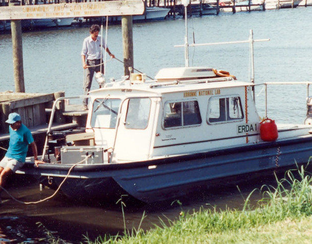
| Platform |
|
||||||||
| Itinerary |
|
||||||||
| Bounds |
|
| Organization |
600 Fourth Street South
St. Petersburg, FL33701-4846
(727) 502-8000
|
||
|---|---|---|---|
| Principal investigators | Jack L Kindinger | ||
| Crew members |
|
||
| Affiliate principal | Guy Gelfenbaum, USGS, St. Petersburg, FL | ||
| Affiliate staff | Richard Hummel, Alabama Geological Survey; Steve Parker, Alabama Geological Survey; Dana Wiese, USGS-St. Petersburg, FL |
| Data category: | Seismics, Location-Elevation |
|---|---|
| Data type: | Boomer, Sub Bottom Profiler, Navigation |
| Name | Description |
|---|---|
| Cruise report | Chief Scientist's cruise report personnel, purpose, equipment, trackmap. |
| Equipment | Usage description | Data types | Datasets |
|---|---|---|---|
| GeoPulse uniboom | Boomer | (no data reported) | |
| Single channel hydrophone | Air Gun / Water Gun, Boomer, Bubble Gun, Sparker, Sub Bottom Profiler | (no data reported) | |
| GPS (wh) | Navigation | (no data reported) | |
| Loran-C | Navigation | (no data reported) |