Field Activity 1990-301-FA

Identifier 1990-301-FA
Alternate names 90KI1, 90KI2, 91KI2
Purpose To investigate the shallow geologic framework of the Mississippi-Alabama-Florida shelf in the northern Gulf of Mexico, from Mississippi Sound to the Florida Panhandle.
Location Mississippi-Alabama-Florida
Summary Scanned images (.tif) of analog seismic profiles, navigation and GIS files.
Info derived Work was conducted as part of a project to study coastal erosion and offshore sand resources.
Comments 
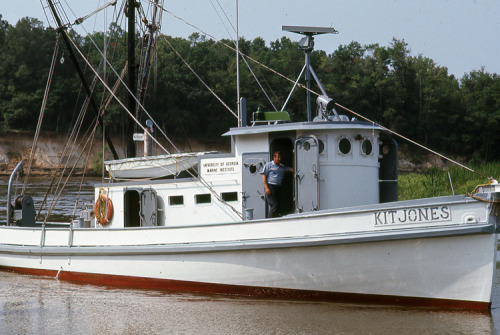
The new field activity IDs 90KI1, 90KI2, and 91KI2 were originally referred to as Kit Jones 90-1, Kit Jones 90-2, and Kit Jones 91-2 at the USGS in St. Petersburg, FL, and 90013 and 91020 at the USGS in Woods Hole, MA.
Platform
Kit Jones
Length 60 feet; beam 15.7 feet.
Vehicles
Unknown
Itinerary
Start St.Petersburg, FL 1990-06-21
End St.Petersburg, FL 1991-07-27
Bounds
West -89.25842285
East -86.33190918
North 30.3662104
South 29.26844715
Marine operations Yes

Personnel

Organization
600 Fourth Street South
St. Petersburg, FL33701-4846
(727) 502-8000
Principal investigators Jack L KindingerJames G Flocks
Crew members
Dana S Wiese
Scientist, Staff
Sanford, Jordan
Scientist, Staff
Information specialist(s)
Arnell S Forde
Specialist, Information

Data types and categories

Data category: Seismics
Data type: Boomer

Equipment used

Equipment Usage description Data types Datasets
Other Unknown, Multichannel, Boomer, Sub Bottom Profiler, Sparker, Bubble Gun, Air Gun / Water Gun, Ocean Bottom Seismometer, Sonobuoy (no data reported)

Publications

Samples collected during this field activity