| Identifier | 1991-014-FA | ||||||||
|---|---|---|---|---|---|---|---|---|---|
| Alternate names | 91-1 | ||||||||
| Purpose | Deploy surface buoy, BASS bottom tripod #382 in lower Mobile Bay, Alabama. | ||||||||
| Location | Mobile Bay, Alabama, United States, Gulf of America (Gulf of Mexico), North America, North Atlantic; | ||||||||
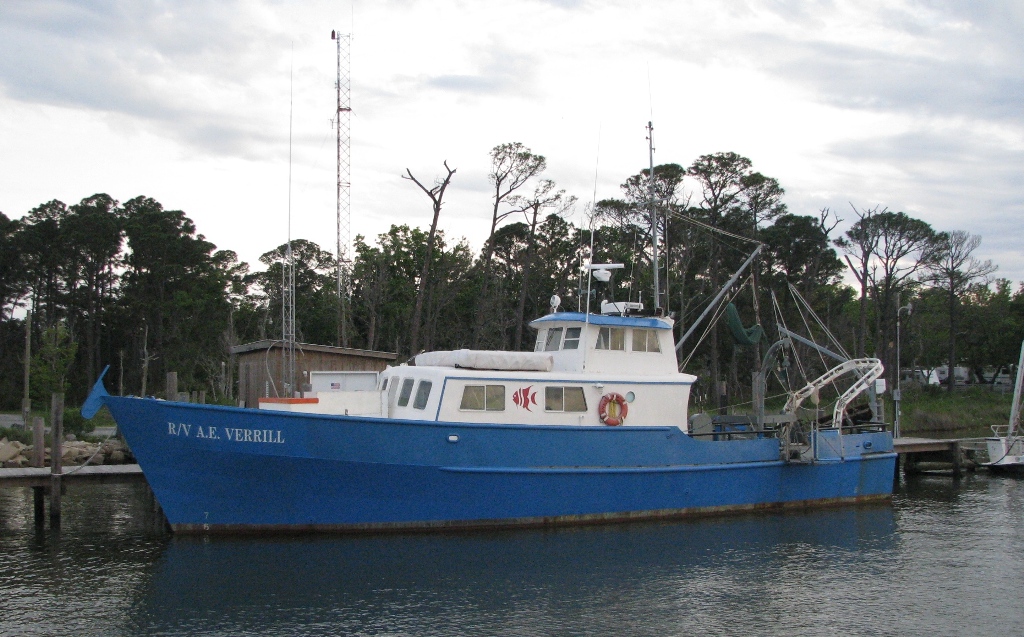
| Summary | Mooring deployed: 1 (#382, recovered FA 91024 A.E. VERRILL Aug. 1-2, 1991). | ||||||||
| Info derived | Time series data; | ||||||||
| Comments | Project = AL-MS Circulation (Gelfenbaum - St. Pete), AL-MS Circulation (Gelfenbaum - St. Pete) | ||||||||
| Related activities |
1991-024-FA: Deployment-recovery |
||||||||
| Platform |
|
||||||||
| Itinerary |
|
||||||||
| Bounds |
|
| Organization |
384 Woods Hole Road
Quissett Campus
Woods Hole, MA02543-1598
(508) 548-8700
|
||||
|---|---|---|---|---|---|
| Principal investigators | William J. Strahle | ||||
| Crew members |
|
||||
| Affiliate principal | Marlene Noble - USGS PMG; Al Gunther - Dauphin Island Sea Lab | ||||
| Affiliate staff | Marlene Noble - USGS-Menlo Park |
| Data category: | Location-Elevation, Time Series |
|---|---|
| Data type: | Navigation, Mooring (physical oceanography) |
| Name | Survey Equipment | Description |
|---|---|---|
| Cruise report | (document not focused on specific equipment) | Chief Scientist's cruise report including personnel, equipment, tabulated information. |
| Equipment | Usage description | Data types | Datasets |
|---|---|---|---|
| Loran-C | Navigation | (no data reported) | |
| Bottom platform | Mooring (physical oceanography) | 1 |
| Dataset name | Equipment | Description | Dataset contact |
|---|---|---|---|
| 1991-014-FA-OM-001 | Bottom platform | mooring data | Ellyn Montgomery |