| Identifier |
1992-013-FA |
| Purpose |
To complete sediment sampling (nearshore) for M.I. reconnaissance map series (Playa de Luquillo). |
| Location |
offshore Luquillo, Puerto Rico, Caribbean Sea, United States, North America, North Atlantic; |
| Info derived |
Grain size analysis; Sea floor map; |
| Comments |
Prepared from pre-field activity report only. |
| Platform |
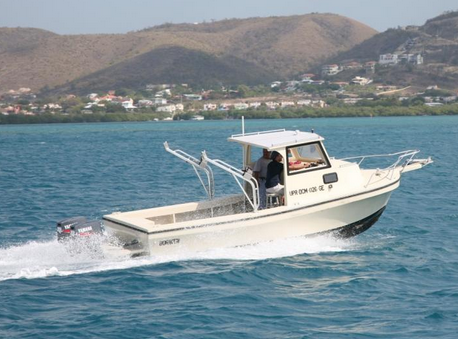
| Boriken |
 |
|
| Itinerary |
| Start |
Fajardo, Puerto Rico |
1992-06-29 |
| End |
Fajardo, Puerto Rico |
1992-07-02 |
| Days in the field |
4 |
|
| Bounds |
| West |
-65.75 |
| East |
-65.5 |
| North |
18.5 |
| South |
18.35 |
|