Field Activity 1993-034-FA

Identifier 1993-034-FA
Purpose 
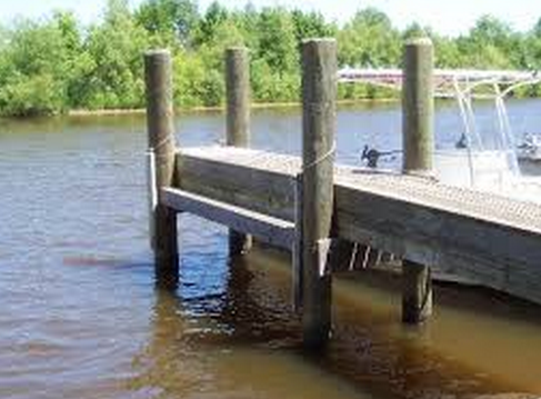
Recover mooring #419 from piling at McKown Point, Boothbay Harbor, Maine.
Location McKown Point, Boothbay Harbor, Maine, United States, North America, North Atlantic;
Summary Tide gauge recovered by hand from piling at USCG station, McKown Pt., Boothbay Harbor, ME. Mooring recovered: 1 (#419, deployed by hand FA 93033 Apr. 2, 1993).
Info derived Time series data;
Platform
Piling
Piling To Mount Equipment
Itinerary
Start McKown Point, Boothbay Harbor, ME 1993-07-07
End McKown Point, Boothbay Harbor, ME 1993-07-07
Days in the field 1
Bounds
West -69.65
East -69.6
North 43.85
South 43.8

Personnel

Organization
384 Woods Hole Road
Quissett Campus
Woods Hole, MA02543-1598
(508) 548-8700
Principal investigators Richard P Signell
Crew members

Data types and categories

Data category: Time Series
Data type: Mooring (physical oceanography)

Moorings

RCV:419; DEP:;

Equipment used

Equipment Usage description Data types Datasets
Bottom platform Mooring (physical oceanography) 1

Datasets

Datasets produced in this activity

Dataset name Equipment Description Dataset contact
1993-034-FA-OM-001 Bottom platform ECOHAB I mooring data Ellyn Montgomery