| Identifier | 1995-033-FA -- CANCELED | ||||||||
|---|---|---|---|---|---|---|---|---|---|
| Purpose | Continue multibeam bathymetric and sidescan sonar survey of Stellwagen Bank NMS. | ||||||||
| Location | Stellwagen Bank region, North America, North Atlantic; | ||||||||
| Summary | See FA 96032. | ||||||||
| Comments | This Field Activity, originally scheduled for 1995, was rescheduled and concluded in 1996. Information also appears under Field Activity # 96032. Original Center People field contained: Page Valentine, Bill Danforth, and others. Project = Stellwagen Bank NMS Mapping Project, Stellwagen Bank NMS Mapping Project. VeeAnn canceled this activity and set the dates to 1995 (keeping month and day) so it would show up under 1995. | ||||||||
| URL | |||||||||
| Platform |
|
||||||||
| Itinerary |
|
||||||||
| Bounds |
|
| Organization |
384 Woods Hole Road
Quissett Campus
Woods Hole, MA02543-1598
(508) 548-8700
|
||||
|---|---|---|---|---|---|
| Principal investigators | Page C Valentine | ||||
| Crew members |
|
||||
| Affiliate principal | Larry Mayer - NOAA; John Hughes-Clark - UNB | ||||
| Affiliate staff | Larry Mayer - NOAA, Eddie Radford - NOS, John Hughes-Clark - UNB |
| Data category: | Sonar, Location-Elevation |
|---|---|
| Data type: | Multibeam, Navigation |
| Equipment | Usage description | Data types | Datasets |
|---|---|---|---|
| Simrad EM 1000 | Multibeam | 2 | |
| DGPS | Navigation | (no data reported) |
| Dataset name | Equipment | Description | Dataset contact |
|---|---|---|---|
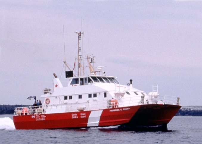
| q5_13mbathy | Simrad EM 1000 | Swath bathymetry 13-m-cell-size grid of quadrangle 5 on Stellwagen Bank offshore of Boston, Massachusetts collected by the U.S. Geological Survey aboard the CCGS Frederick G. Creed from 1994-1996. The purpose of this dataset is to release the 13-meter by 13-meter cell-size bathymetry grid that was used as the basis for analysis and the interpretation of quadrangle 5 of the Stellwagen Bank National Marine Sanctuary region. | Page C Valentine |
| q5_1m_contours | Simrad EM 1000 | Portion of the 1-meter (m) contours in quadrangle 5 of the Stellwagen Bank Survey Area offshore of Boston, Massachusetts based on bathymetry data collected by the U.S. Geological Survey from 1994-1996. The purpose of this dataset is to release the 1-meter (m) contours that are used in quadrangle 5 Stellwagen Bank geologic interpretation maps that aid in interpretation. | Page C Valentine |
| Dataset name | Description | Dataset contact |
|---|---|---|
| q5_geologic_interp | Interpretation of the seabed geologic substrates in quadrangle 5 of the Stellwagen Bank National Marine Sanctuary region offshore of Boston, Massachusetts based on data collected by the U.S. Geological Survey from 1993-2019. | Page C Valentine |