To map sediment thickness for delineating the outer limits of the extended continental shel and landslide deposits to better understand tsunami hazards along the Atlantic margin
Location
Atlantic Ocean, New England to south of Cape Hatteras
Summary
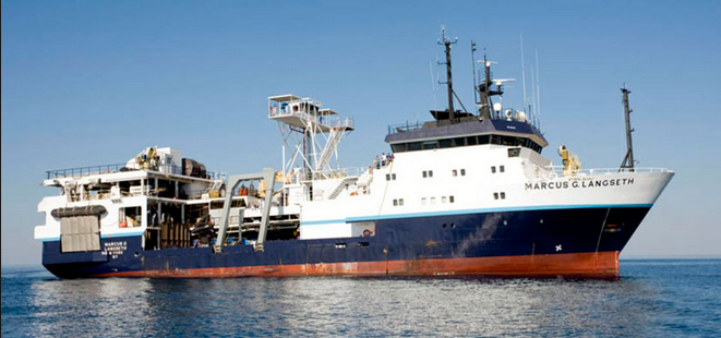
The USGS conducted a 23-day geophysical survey in deep-water along the Atlantic continental margin using R/V Marcus G. Langseth. The seismic program is to collect multichannel seismic refraction data to determine sediment thickness and enable the U.S. to delineate the Atlantic extended continental shelf (ECS). The same data will also be used to understand large submarine landslides and therefore assess their potential tsunami hazard for infrastructure and communities living on the Eastern Seaboard.
The survey was conducted across the Atlantic continental margin, from near the junction of the slope and upper rise, in water depths greater than 1500m, out to the abyssal floor, greater than 5000m.
This field program had two primary objectives. 1) To collect the data necessary to establish the outer limits of the U.S. Continental Shelf, or Extended Continental Shelf (ECS), as defined by Article 76 of the Convention of the Law of the Sea. 2) To study the sudden mass transport of sediments down the continental margin as submarine landslides that pose potential tsunamigenic hazards to the Atlantic and Caribbean coastal communities.
Data Collected: gravity, magnetics, multi-beam bathymetry, backscatter, multi-channel seismic, sonobuoy (refraction seismic), sound velocity profiles, sub-bottom profiling
Info derived
sediment thickness, stratigraphy,
Comments
approximately 2,761 kilometers of multi-channel seismic data collected by the U.S. Geological Survey during USGS survey 2015-06-FA. These data were collected off the U.S. Seaboard Atlantic as part of the U.S. Extended Continental Shelf project and investigations of tsunami hazards.