Field Activity 2016-006-FA

Identifier 2016-006-FA
Purpose Deploy bottom platform
Location Sandwich Town Neck Beach, Cape Cod Bay, Massachusetts, United States, Atlantic Ocean
Summary oceanographic observations collected to quantify nearshore currents, waves, pressure temperature
Info derived wave heights, tidal elevations
Comments Mooring #1063 will be set.
Projects
Platform
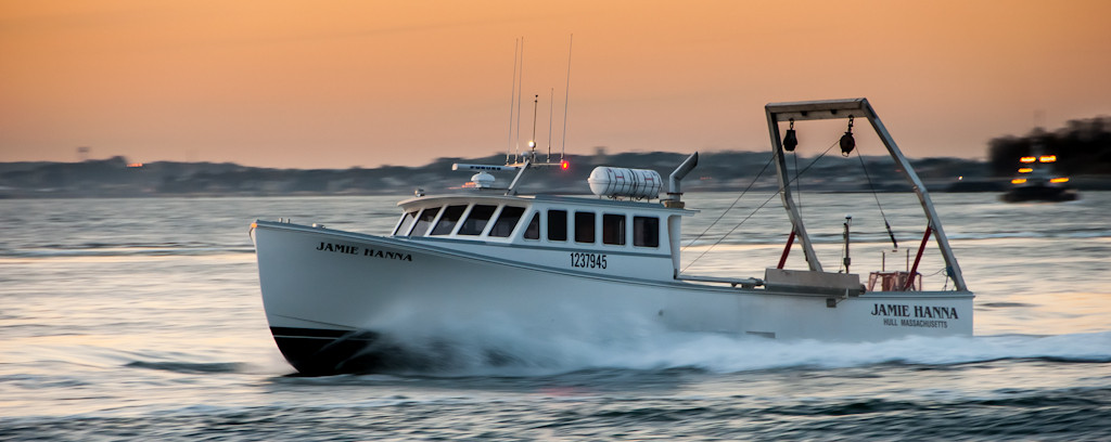
Jamie Hanna
Length 55 feet.
Itinerary
Start Sandwich, MA 2016-02-10
End Sandwich, MA 2016-05-20
Days in the field 1
Bounds
West -70.4908
East -70.42205817
North 41.78503467
South 41.73478262

Personnel

Organization
384 Woods Hole Road
Quissett Campus
Woods Hole, MA02543-1598
(508) 548-8700
Principal investigators Christopher R Sherwood
Crew members
Dann S Blackwood
Scientist, Staff
Christopher R Sherwood
Scientist, Staff
Jonathan Borden
Scientist, Staff
Nicholas R Dicosmo
Scientist, Staff
Information specialist(s)
Ellyn Montgomery
Specialist, Information

Data types and categories

Data category: Location-Elevation, Sampling, Time Series
Data type: Navigation, Geology, Mooring (physical oceanography)

Equipment used

Equipment Usage description Data types Datasets
Bottom platform Mooring (physical oceanography) 1
DGPS Navigation (no data reported)
Sample containers Biology, Geology (no data reported)

Datasets

Datasets produced in this activity

Dataset name Equipment Description Dataset contact
1063 Bottom platform Platform containing multiple oceanographic sensors Ellyn Montgomery

Publications

Samples collected during this field activity