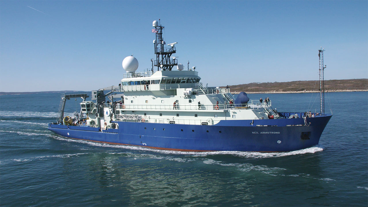
High-resolution MCS survey of the continental slope NE of Hudson canyon and SE of Martha's Vineyard. This area is unique along the Atlantic slope in having many landslides and hardly any submarine canyons. The cruise aimed to characterize and tie shelf, slope and rise stratigraphy together. This is also a Science Verification Cruise for the new ship R/V Armstrong, and the cruise is a test of the WHSC MCS streamer and sparker source.
Location
Gulf of Maine, United States, North America, North Atlantic;,
Summary
Multichannel Seismic: ~225 km of multichannel seismic profiles acquired using 72-channel (6.25 m group spacing) Geoeel Streamer and Applied Acoustic Delta Sparker. Multibeam Bathymetry: 789 linear kms of Kongsberg EM122 and EM712 multibeam bathymetry and backscatter data.
Info derived
Multichannel seismic reflection data, Multibeam bathymetry and backscatter
Comments
Additional data sets from R/V Neil Armstrong Science Verification Leg 5 (AR5) available from the rolling deck repository at: http://www.rvdata.us/catalog/AR5
High-resolution multichannel seismic reflection data collected along the New England outer continental shelf, slope, and rise south of Martha's Vineyard and Nantucket, Massachusetts, U.S. Geological Survey Field Activity 2016-018-FA. Includes shot coordinate navigation, common mid-point (CMP) coordinate and trackline navigation, profile images, and processed stack and raw SEG-Y trace data for approximately 212 km of multichannel seismic-reflection data in separate files.