| Identifier | 2019-643-FA | ||||||||
|---|---|---|---|---|---|---|---|---|---|
| Purpose | To collect sediment cores for marine geohazard studies | ||||||||
| Location | Northern California, Southern Oregon, United States, Pacific Ocean | ||||||||
| Summary | Collected 36 piston cores, 2 gravity cores, 41 minisparker multichannel seismic profiles, and 100 chirp line segments that make up 42 total chirp profiles. | ||||||||
| Info derived | Sediment age, character and distribution; fault characterization | ||||||||
| Projects | |||||||||
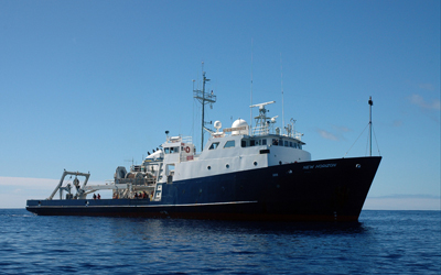
| Platform |
|
||||||||
| Vehicles | MarFac; Ford 650 Box truck - White G71-03559 |
||||||||
| Itinerary |
|
||||||||
| Bounds |
|
||||||||
| Marine operations | Yes |
| Organization |
2885 Mission Street
Santa Cruz, CA95060
(831) 460-7401
|
||||||||||||
|---|---|---|---|---|---|---|---|---|---|---|---|---|---|
| Principal investigators | Hill, Jenna | ||||||||||||
| Crew members |
|
||||||||||||
| Information specialist(s) |
|
| Data category: | Sampling, Seismics |
|---|---|
| Data type: | Geology, Sparker, Sub Bottom Profiler |
| Equipment | Usage description | Data types | Datasets |
|---|---|---|---|
| pistoncore | Geology | 1 | |
| 512 chirp-source | Sub Bottom Profiler | (no data reported) | |
| Other | Unknown, Multichannel, Boomer, Sub Bottom Profiler, Sparker, Bubble Gun, Air Gun / Water Gun, Ocean Bottom Seismometer, Sonobuoy | (no data reported) | |
| 512 chirp | Sub Bottom Profiler | 1 | |
| Mini sparker | Sparker | (no data reported) | |
| Gravity Core | Geology | 1 | |
| 48-channel streamer | Sparker | 1 |
| Dataset name | Equipment | Description | Dataset contact |
|---|---|---|---|
| Chirp sub-bottom data | 512 chirp | Chirp sub-bottom data were collected by the U.S. Geological Survey in 2019 offshore Humboldt County of northern California to expand data coverage along the southern Cascadia Margin. | Alicia F Balster-gee |
| Multichannel minisparker seismic-reflection data | 48-channel streamer | High-resolution multichannel seismic (MCS) data were collected by the U.S. Geological Survey in 2019 offshore Humboldt County of northern California to expand data coverage along the southern Cascadia Margin. | Alicia F Balster-gee |
| Dataset name | Equipment | Description | Dataset contact |
|---|---|---|---|
| Sediment core data from offshore southern Cascadia during field activity 2019-643-FA | pistoncore | Sediment core data including core imagery, multi-sensor core logger (MSCL) data, and radiocarbon age data. | Jenna C Hill |
| Sediment core data from offshore southern Cascadia during field activity 2019-643-FA | Gravity Core | Sediment core data including core imagery, multi-sensor core logger (MSCL) data, and radiocarbon age data. | Jenna C Hill |