Active source seismic reflection/refraction program designed to improve understanding of the Puerto Rico subduction zone and its associated hazards.
Location
Guayanilla Canyon, Southwest Puerto Rico; Puerto Rico Trench; Los Muertos Trough
Summary
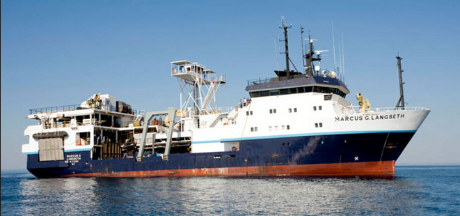
Collected 2,606-line kilometers of multichannel seismic reflection profiles, 4,076-line kilometers of Knudsen 3260 Chirp sub-bottom profiles, 3,957 line-kilometers of Kongsberg EM122 MBES bathymetry, as well as underway navigation, gravity, magnetics, ADCP, and XBT data during first 26 survey days. Over the following 30 days, 41 OBS were deployed in segments along three roughly shore normal transects, two north (central and eastern) and one south (central) of Puerto Rico.
Info derived
Seismic reflection and refraction images of subduction zone, P- and S-wave velocity and density structure.
Sentinel Seal 428 digital streamer - configured in either a 900 meter long active section with 144, 6.25 meter spaced channel groups, or a 13.65 kilometer long active section with 1092, 12.5 meter spaced channel groups.